




Hiking
po, 28.10.2024, 9:53
 Rakousko
Logged on Vrcholovka 1x in total. Vrchol Seekarschneid was added here by Jiří Králík and info was completed by Martin Matějka.
A marked trail leads to the summit. From the south, it's a hike, from the north, it's 1-.
There is no chalet on the peak.
Peak is not stroller accessible.
There are views from the peak.
There is no cable car to this peak.
No special equipment is required for this summit.
Peak is freely accessible.
Nearest peaks: Seekarschniid S (2286 m, 0.2 km) Seekarschneid S2 (2284 m, 0.3 km) Seekareck (2217 m, 0.5 km) Seekaroberehügel (2261 m, 0.5 km) Seekarunterehügel (2256 m, 0.6 km) Seekarspitze (2350 m, 0.8 km) Grünwaldkopf (1974 m, 1.2 km) Kehrkopf (1836 m, 1.7 km) Indiaenkopf (2179 m, 1.8 km) Wurmwand (2195 m, 2.1 km) Koners (2048 m, 2.9 km) Gamsspitzl (2340 m, 3.3 km) Gamsleitenspitze (2359 m, 3.4 km)
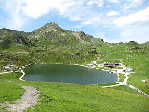 Přechod Schladmingských Taur s dětmi
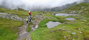 Túra po hřebeni Radstadtských Taur přes Gamsleitenspitze - Glöcknerin
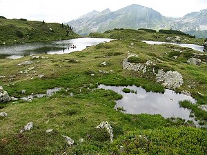
 Obertauern: Grünwaldkopf
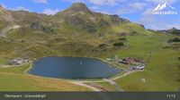 Obertauern › North-East: Zehnerkarbahn − Skilift Kirchbühellift − Obertauern Passhöhe
 Obertauern: Seekar
 Obertauern: Seekarhaus − Talstation Seekarspitzbahn
 Untertauern › North-west: Seekarspitzbahn Talstation - Seekarspitze
 Obertauern: Kirchbühel
 Obertauern: Hotel Das Seekarhaus
 Untertauern: Hotel Das Seekarhaus Obertauern
 Untertauern: Hundsfeldsee - Obertauern - Blick zum Seekarhaus
 Untertauern: Hundsfeldsee - Obertauern - Blick zum Seekarhaus
 Obertauern: Blick von der Kirchbühelbrücke
 Obertauern: Zehnerkar
 Untertauern: Obertauern Gnadenalm
 Obertauern: Seekar
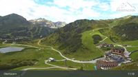 Obertauern: Webcam − Partymeile: Blick aud die Edelweiss- Flutlichtpiste, Gruberstadl, Latschnalm und Lürzeralm
 Untertauern: Obertauern - Hundskogel
 Obertauern: Zehnerkar
 Obertauern: Gamsleiten
 Tweng: Obertauern - Gamsleiten
 Obertauern: Gamsleiten
 Obertauern
 Obertauern
 Obertauern: Seekar
 Obertauern: Plattenkar
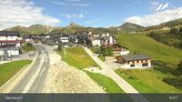 Obertauern: Gamsleiten
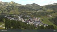 Obertauern: Schaidberg
 Obertauern: Apparthotel Auerhahn

| today | tomorrow | day after tomorrow | |
|---|---|---|---|
| Dawn: | 6:11 | 6:13 | 6:14 |
| Sunrise: | 6:43 | 6:44 | 6:46 |
| Sunset: | 16:56 | 16:54 | 16:52 |
| Dusk: | 17:27 | 17:26 | 17:24 |