Hiking, 18 km
21.5.2026
 Česko
Děčín (Ústecký kraj)
Logged on Vrcholovka 23x in total. Vrchol Oltářní vršek was added here by Tor and info was completed by Tor.
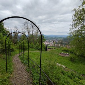
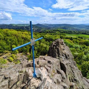
The summit consists of a group of rounded rocky ridges with limited views. About 40 m to the northeast is a smaller sacred monument - a niche rock chapel of the Holy Trinity from 1916, with a modern altar and a cross on top of the rock. On the southwest slope, approximately 80 m from the summit, a pair of rock towers rise (Oltář and Trojjediná tower, difficulty I - X UIAA). Further to the northwest, on the summit of Malá ohňová skála, there is a viewing platform Tell - Platte with views towards Děčínský Sněžník.
There is no chalet on the peak.
Peak is not stroller accessible.
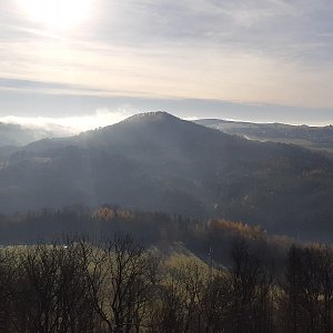
There are views from the peak.
There is no cable car to this peak.
No special equipment is required for this summit.
Peak is freely accessible.
Nearest peaks: Jehlička (475 m, 0.2 km) Jehla (479 m, 0.3 km) Kunratický vrch (509 m, 0.5 km) Zámecký vrch S (398 m, 1.3 km) Na Čihadle (478 m, 1.5 km) Nad potokem (429 m, 1.5 km) Větrný vrch JV (382 m, 1.6 km) Malá hůrka (365 m, 1.9 km) Wowczakův vrch (549 m, 1.9 km) Zámecký vrch (541 m, 2 km) Skalka JZ (456 m, 2.2 km) Velká hůrka (385 m, 2.2 km) Saddle (447 m, 2.3 km) Skalka (465 m, 2.4 km) Homole SV (312 m, 2.5 km) Větrný vrch (481 m, 2.5 km) Hana SV2 (427 m, 2.8 km) Hana SV1 (437 m, 2.9 km) Hana SSZ (397 m, 3 km) Hájek (400 m, 3.2 km) Studenec (737 m, 3.2 km) Hana (447 m, 3.3 km) Hana ZSZ (407 m, 3.5 km)
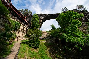 Trek přes Labské pískovce a České Švýcarsko
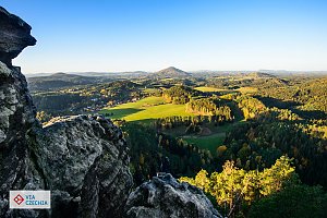 Pivní stezka přes Lužické hory
| today | tomorrow | day after tomorrow | |
|---|---|---|---|
| Dawn: | 7:06 | 6:08 | 6:09 |
| Sunrise: | 7:40 | 6:42 | 6:43 |
| Sunset: | 17:52 | 16:50 | 16:48 |
| Dusk: | 18:26 | 17:24 | 17:22 |