




Hiking, 76 km
7.7.2019 to 15.7.2019
 Rumunsko
Logged on Vrcholovka 2x in total. Vrchol Gălbenele was added here by Bouřka and info was completed by Martin Matějka.
Maps.cz states the height is 2436m, but the Romanian hiking map as well as the Romanian Wikipedia list it as 2456m. A prominent, beautiful peak.
There is no chalet on the peak.
Peak is not stroller accessible.
There are views from the peak.
There is no cable car to this peak.
No special equipment is required for this summit.
Nearest peaks: Hârtopul Ursului (2461 m, 0.5 km) Zanoaga (2357 m, 0.6 km) Gălășescu Mare (2470 m, 0.8 km) Paraul Lung (2299 m, 1.7 km) Gălășescu Mic (2398 m, 1.8 km) Viștea Mare (2527 m, 1.8 km) Moldoveanu (2544 m, 2 km) Piscul Roșu (2428 m, 2.1 km) Fantana Vistei (2294 m, 2.2 km) Ucisoara (2390 m, 2.3 km) Galbena (2419 m, 2.7 km)
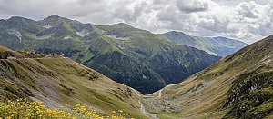 Túra střechou Rumunska - okruh východním Fagarašem s výstupem na nejvyšší vrchol Moldoveanu
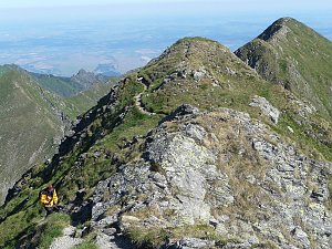 Trek zimní Fagarašem, aneb romantika jak cyp
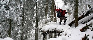
| today | tomorrow | day after tomorrow | |
|---|---|---|---|
| Dawn: | 7:17 | 7:19 | 6:20 |
| Sunrise: | 7:48 | 7:49 | 6:50 |
| Sunset: | 18:22 | 18:20 | 17:19 |
| Dusk: | 18:52 | 18:51 | 17:49 |
