


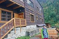


Hiking, 4 km
11.4.2026
 Slovensko
Prešovský kraj
Logged on Vrcholovka 1x in total. Vrchol Pálenica was added here by Jaroslav Flidr and info was completed by INDOSH, Martin Matějka, Pája a Rastislav Biarinec.
Pálenica is part of challenges: Crown of the Tatras, Poprad Basin
According to Polish classification (and also according to Mapy.cz), it belongs to the Spišská Magura, while according to Slovak classification, it is part of the Belianske Tatras.
There is no chalet on the peak.
Peak is not stroller accessible.
There are views from the peak.
There is no cable car to this peak.
No special equipment is required for this summit.
The summit is accessible from Lendak.
Nearest peaks: Kýčera Z (1120 m, 0.2 km) Kýčera (1096 m, 0.3 km) Skalka (1087 m, 2 km) Čierny vrch (1050 m, 2.1 km) Kobylí vrch (1109 m, 2.2 km) Krivé (1003 m, 2.2 km)
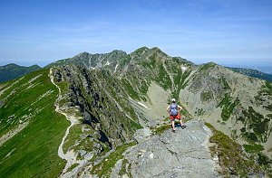 Jahňací štít – nejvýchodnější vrchol Vysokých Tater
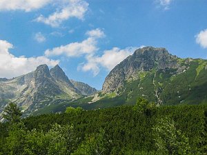 Tatranský expres - prodloužený víkend v Tatrách
| today | tomorrow | day after tomorrow | |
|---|---|---|---|
| Dawn: | 5:45 | 5:47 | 5:48 |
| Sunrise: | 6:18 | 6:20 | 6:21 |
| Sunset: | 16:26 | 16:24 | 16:23 |
| Dusk: | 16:59 | 16:57 | 16:56 |
