



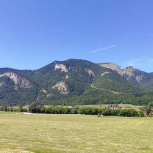

Hiking, 18 km
12.7.2026
 Rakousko
Logged on Vrcholovka 2x in total. Vrchol Reiningspitz was added here by Divočák and info was completed by Martin Matějka a Jan Blažej.
A summit accessible by a detour from the red hiking trail leading to Schafberg via an unmarked path. It can also be combined with a visit to the nearby peak Teufelhaus. The route between the peaks goes along a grassy slope.
There is no chalet on the peak.
Peak is not stroller accessible.
There are views from the peak.
There is no cable car to this peak.
No special equipment is required for this summit.
Peak is freely accessible.
Nearest peaks: Teufelhaus (1414 m, 0.4 km) Aignerriedel (1326 m, 0.9 km) Schafberg (1783 m, 1.1 km) Spinnerin (1725 m, 1.3 km) Törlspitz (1589 m, 1.7 km) Weinkogel (1181 m, 2.4 km)
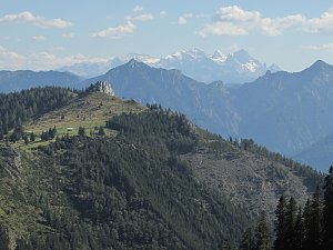 Tůry v okolí Wolfgangsee
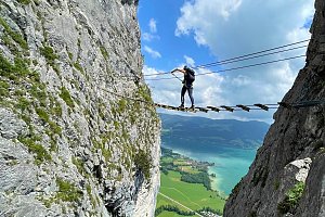
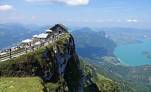 Výstup feratou na Drachenwand od jezera Mondsee
 St. Wolfgang im Salzkammergut: St. Wofgang - Schafbergbahn Talstation
 Sankt Gilgen › South-east: Union-Yacht-Club Wolfgangsee
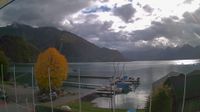 St. Wolfgang im Salzkammergut › South-East: Lake camping Appesbach
 Strobl: Wolfgangsee - MS Salzkammergut
 Strobl › West
 Strobl: Dorfplatz

| today | tomorrow | day after tomorrow | |
|---|---|---|---|
| Dawn: | 6:21 | 6:22 | 6:24 |
| Sunrise: | 6:53 | 6:55 | 6:56 |
| Sunset: | 16:45 | 16:44 | 16:42 |
| Dusk: | 17:18 | 17:16 | 17:15 |


