


Hiking
ne, 26.1.2020, 14:03
 Nový Zéland
Logged on Vrcholovka 2x in total. Vrchol The Bluff / Motupōhue was added here by Profesorskey - Jan Bratt and info was completed by Martin Matějka.
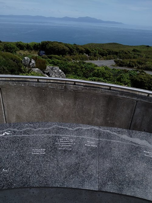
The Bluff is the name of both a hill and a peninsula that extends south from the southern island of New Zealand. It is an unremarkable peak, but since it rises directly from sea level, it has a decent elevation. At the summit, there are several transmitters and a memorial, but the most interesting aspect is the views of Rakiura Island. This is a place where a large number of people finish their journey along the long-distance trail Te Araroa.
There is no chalet on the peak.
an asphalt road leads to the summit
There are views from the peak.
There is no cable car to this peak.
No special equipment is required for this summit.
Peak is freely accessible.
| today | tomorrow | day after tomorrow | |
|---|---|---|---|
| Dawn: | 5:50 | 5:48 | 5:47 |
| Sunrise: | 6:23 | 6:21 | 6:20 |
| Sunset: | 20:37 | 20:38 | 20:39 |
| Dusk: | 21:10 | 21:11 | 21:13 |