
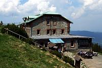
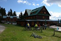


Hiking, 28 km
14.6.2024

 Česko
Šumperk (Olomoucký kraj)
Logged on Vrcholovka 5x in total. Vrchol Pekelec was added here by Bouřka.
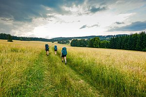
Rocky ridge above Branná; Nature Trail Pasák. Views from the meadows near the summit.
There is no chalet on the peak.
Peak is not stroller accessible.
There are views from the peak.
There is no cable car to this peak.
No special equipment is required for this summit.
Peak is freely accessible.
Nearest peaks: Above Přední Alojzov (840 m, 0.7 km) Above Zadní Alojzov (842 m, 1 km) Kolštejn (644 m, 1.2 km) Štolný hřbet (882 m, 1.3 km) Malý Branný vrch (685 m, 1.6 km) Ptačí pláň (684 m, 1.6 km) Velký Pekelník (731 m, 1.9 km) Větrná (720 m, 2 km) Branný vrch (736 m, 2.3 km) Troják JZ (934 m, 2.3 km) Nad soutokem (663 m, 2.4 km) Vápenka (757 m, 2.6 km) Losín (727 m, 2.8 km) Malý Pekelník (663 m, 2.8 km) Prostřední stráň (700 m, 3.1 km) Peklo (649 m, 3.2 km)
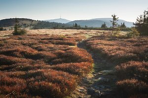 Přechod Rychlebských hor
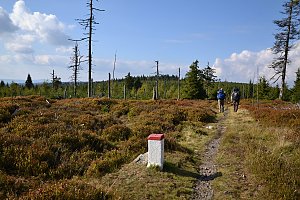 Via Czechia - Stezka Slezkem
 Branna u Sumperka: Ski areál Branná - Ski Branná - horní kamera
 Jindřichov ELBA
 Loucna nad Desnou › North-West: Penzion Přemyslov - Ski resort Premyslov
 Ostruzna › North-East
 Ostruzna: Skiarena R Ramzová - Horní část sjezdovky Skiareálu Ramzová
 Ostruzna: Skiarena R Ramzová - Horské minikáry
 Ramzová: Ski Center R3 Ramzova
 Ostruzna: Ramzová
 Velke Vrbno: Snow park Paprsek - Nástup na lanovku
 Velké Vrbno: Snow park Paprsek
 Velke Vrbno: Snow park Paprsek - Lanovka - pohled nahoru
 Velké Vrbno: Hotel Paprsek
 Velké Vrbno: Hotel Paprsek

| today | tomorrow | day after tomorrow | |
|---|---|---|---|
| Dawn: | 6:55 | 5:57 | 5:58 |
| Sunrise: | 7:28 | 6:30 | 6:31 |
| Sunset: | 17:43 | 16:41 | 16:39 |
| Dusk: | 18:16 | 17:14 | 17:13 |




