

Hiking, 17 km
8.9.2025
 Česko
Bruntál (Moravskoslezský kraj)
Logged on Vrcholovka 8x in total. Spočinek Above Rychta was added here by Horalka Anička and info was completed by Martin Matějka, Radka D a Jiří Králík.
Help others and .
There is no chalet on the peak.
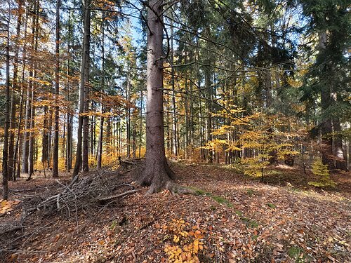
A forest path leads from Morávka to the top, but it is only suitable for an all-terrain stroller.
There are no views from the peak.
There is no cable car to this peak.
No special equipment is required for this summit.
Peak is freely accessible.
Nearest peaks: Skalka nad Rychtou (763 m, 0.2 km) Kapličkový vrch (733 m, 0.6 km) Nad Kapličkou (761 m, 0.7 km) Malá Čertova hora (795 m, 0.9 km) Rock (797 m, 1.1 km) Great Ores (780 m, 1.2 km) Malé Rudy (766 m, 1.5 km) Morning (811 m, 1.5 km) Čertova hora (825 m, 1.6 km) New Rudny Hill (752 m, 1.6 km) Rock Ore (754 m, 1.6 km) Solný vrch (819 m, 1.6 km) Čertova hora J (809 m, 1.8 km) Čertova hora SV (792 m, 1.8 km) Sinkholes near Mala Ruda (755 m, 1.9 km) Iron Hill (859 m, 2.1 km) Upper Forest (818 m, 2.2 km) Čertův vrch S (825 m, 2.3 km) V Javořinách (850 m, 2.3 km) U Hranic (710 m, 2.4 km) Guard Hill (767 m, 2.9 km) Kosov (905 m, 2.9 km) Růžová stráň S (670 m, 3 km) At the Lookout Tower (782 m, 3.1 km) Růžová stráň (670 m, 3.2 km)
 Malá Morávka: Kopřivná Pradědem
 Mala Moravka: Kopřivná
 Mala Moravka: Kopřivná
 Mala Moravka: Kopřivná II
 Karlov pod Pradedem: Ski Karlov - areál Karlov - Sportovní
 Karlov pod Pradedem: Ski Karlov - areál Karlov - Sjezdovky V Javořinách a Rodinná
 Karlov pod Pradedem: Ski Karlov - areál Karlov - Vyhlídková
 Karlov
 Vaclavov u Bruntalu › South
 Nova Ves u Rymarova: Chata Myslivna SKP Olomouc - Běžecký lyžařský areál Nová Ves
 Nova Ves u Rymarova: Chata Myslivna SKP Olomouc - Běžecký lyžařský areál Nová Ves - horní část
 Nova Ves u Rymarova: Chata Myslivna SKP Olomouc - Posezení
 Nova Ves u Rymarova: Chata Myslivna SKP Olomouc - Pohled do krajiny
 Suchá Rudná
 Karlova Studanka: Lyžařský vlek - Sjezdovka

| today | tomorrow | day after tomorrow | |
|---|---|---|---|
| Dawn: | 5:55 | 5:57 | 5:58 |
| Sunrise: | 6:28 | 6:30 | 6:32 |
| Sunset: | 16:40 | 16:38 | 16:37 |
| Dusk: | 17:13 | 17:12 | 17:10 |