
Hiking
ne, 20.10.2024, 14:30
 Rakousko
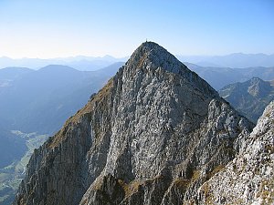
Logged on Vrcholovka 3x in total. Vrchol Hochleitenspitze was added here by Jiří Králík.
Easily accessible peak. The ridge walk to Gamskogel follows, which is for more experienced hikers.
There is no chalet on the peak.
Peak is not stroller accessible.
There are views from the peak.
There is no cable car to this peak.
No special equipment is required for this summit.
Peak is freely accessible.
Nearest peaks: Barentritt turm (2338 m, 0.2 km) Gamskögel (Westgipfel) (2386 m, 0.4 km) Gamskögel V (2346 m, 0.6 km) Amachkogel (2312 m, 1.4 km) Mödringkogel (2142 m, 1.4 km) Knaudachkogel (2227 m, 1.5 km) Krugkoppe (2042 m, 2 km) Kleiner Grießstein (2175 m, 2.1 km) Larchkogel (2258 m, 2.1 km) Ochsenspitze SZ (2082 m, 2.1 km) Kesseleck (2308 m, 2.3 km) Ochsenspitze (2116 m, 2.6 km) Großer Grießstein (2337 m, 2.9 km)
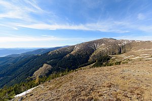 Přechod hřebene Rottenmannských Taur a výstup na Grosser Bösenstein
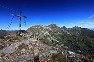 Výstup na vrchol Seckauer Zinken
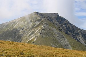 Túra na vrcholy Sparafeld a Kalbling v Ennstalských Alpách
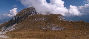 Výstup na vrchol Zinödl v Ennstalských Alpách
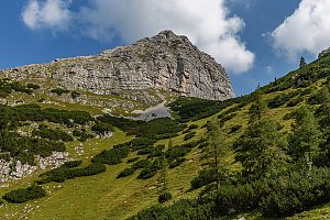 Wasserfallweg & Planspitze
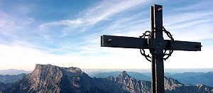 Výstup na Lugauer
 Hohentauern: Ski
 Hohentauern: Ski
 Hohentauern

| today | tomorrow | day after tomorrow | |
|---|---|---|---|
| Dawn: | 7:00 | 7:02 | 6:03 |
| Sunrise: | 7:31 | 7:33 | 6:34 |
| Sunset: | 18:00 | 17:58 | 16:56 |
| Dusk: | 18:31 | 18:29 | 17:28 |