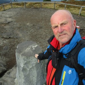

Hiking, 15 km
13.9.2026
 Česko
Šumperk (Olomoucký kraj)
Logged on Vrcholovka 35x in total. Peak information here was completed by Martin Matějka.
Troják is part of challenges: Koruna Sudet, Nejhory Olomoucka, Thousanders of the Czech Republic, Thousanders of the Jeseníky
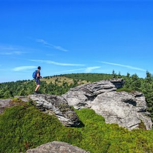
The western ridge of Vozka, separated from it by the Volská louka saddle. On the summit plateau stands Durasova chata, which also has a geodetic point (1044.6 m), but the peak is about 200 m to the southeast, on the edge of a massive cliff.
There is no chalet on the peak.
Peak is not stroller accessible.
There are no views from the peak.
There is no cable car to this peak.
No special equipment is required for this summit.
Peak is freely accessible.
Nearest peaks: Troják JZ (934 m, 0.9 km) Malá Černava (947 m, 1.9 km) Polom (1128 m, 2.1 km) Černá stráň S (1047 m, 2.2 km) Jelení stráň (1070 m, 2.3 km) Prostřední stráň (700 m, 2.5 km) Štolný hřbet (882 m, 2.5 km) Černava (1103 m, 2.7 km) Nad tratí (740 m, 2.8 km) Under the Station (743 m, 3 km) Above the Viaduct (715 m, 3.2 km) Černá stráň SV (1111 m, 3.5 km)
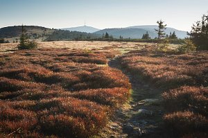 Přechod Rychlebských hor
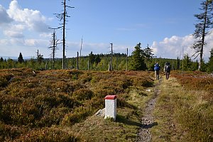 Via Czechia - Stezka Slezkem
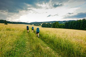
 Ostruzna: Skiarena R Ramzová - Horní část sjezdovky Skiareálu Ramzová
 Ostruzna: Skiarena R Ramzová - Horské minikáry
 Ramzová: Ski Center R3 Ramzova
 Ramzová: Serak, Jeseniki
 Ostruzna: Ramzová
 Loucna nad Desnou › North-West: Penzion Přemyslov - Ski resort Premyslov
 Jindřichov ELBA
 Horni Lipova: SKICENTRUM Miroslav Lipová Lázně - Výstupní stanice lanové dráhy
 Loucna nad Desnou: Skiareál Kouty nad Desnou - Sjezdovka K Snowparku

| today | tomorrow | day after tomorrow | |
|---|---|---|---|
| Dawn: | 6:53 | 6:55 | 5:56 |
| Sunrise: | 7:26 | 7:28 | 6:30 |
| Sunset: | 17:45 | 17:43 | 16:41 |
| Dusk: | 18:18 | 18:16 | 17:14 |