



Hiking, 24 km
13.3.2022
 Česko
Chomutov (Ústecký kraj)
Logged on Vrcholovka 2x in total. Vrchol Hraničná S was added here by Tor and info was completed by Martin Matějka a Tor.
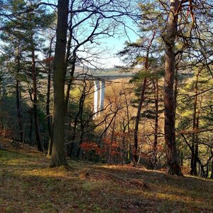
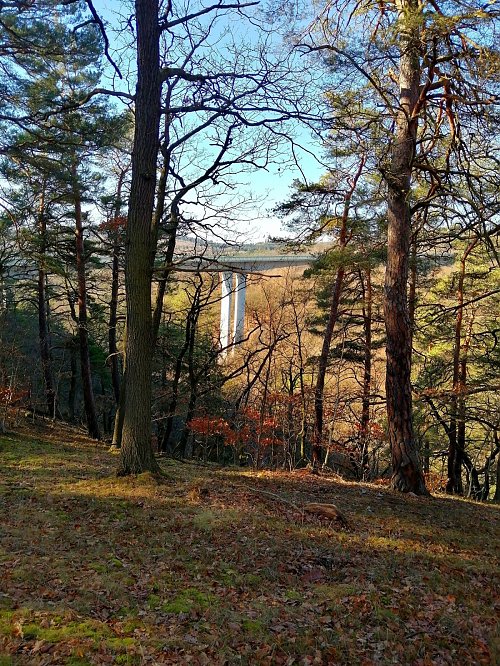
An unremarkable forested peak with steep western slopes. From the summit, you can glimpse the 62m high highway bridge, spanning over the valley of the Hačka stream. (Currently the highest bridge in the Czech Republic, where Bungee Jumping and Swinging are operated.)
There is no chalet on the peak.
Peak is not stroller accessible.
There are views from the peak.
There is no cable car to this peak.
No special equipment is required for this summit.
Peak is freely accessible.
Nearest peaks: Hraničná (517 m, 0.2 km) Hůrka (581 m, 0.4 km) Hůrka S (593 m, 0.9 km) Hůrka V (552 m, 0.9 km) Krásnolipský vrch (620 m, 2.1 km) Na Domince (646 m, 2.1 km) Hradiště (595 m, 2.2 km) Zámecký vrch (541 m, 2.5 km) Klenovčík (706 m, 3 km)
| today | tomorrow | day after tomorrow | |
|---|---|---|---|
| Dawn: | 7:08 | 7:10 | 6:12 |
| Sunrise: | 7:42 | 7:43 | 6:45 |
| Sunset: | 17:59 | 17:57 | 16:55 |
| Dusk: | 18:32 | 18:30 | 17:29 |