Breitenberg (1260 m a.s.l., Hory Solné komory)
Register and log summit
Weather Breitenberg

About peak Breitenberg
 Rakousko
Vrchol Breitenberg was added here by Bouřka.
Help others and .
- Chalet/accommodation
-
There is no chalet on the peak.
- Stroller access
-
Peak is not stroller accessible.
- Views
-
There are views from the peak.
- Cable car
-
There is no cable car to this peak.
- Equipment
-
No special equipment is required for this summit.
- Accessibility
-
Peak is freely accessible.
Nearest peaks: Troiferberg (883 m, 2.6 km)
Routes nearby
Tůry v okolí Wolfgangsee
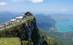 Na Schafberg od Wolfgangsee
(elevation gain 1103 m, 10 km)
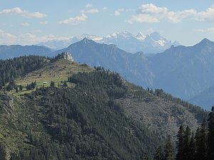 Výstup feratou na Drachenwand od jezera Mondsee
(elevation gain 600 m, )
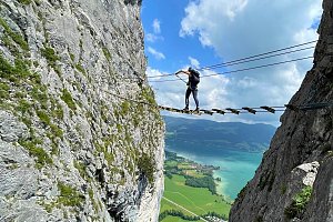 Okruh kolem jezera Fuschlsee v Solné komoře
(12 km)
Routes provided by SvetOutdooru.cz
Na Schafberg od Wolfgangsee(elevation gain 1103 m, 10 km)
Výstup feratou na Drachenwand od jezera Mondsee(elevation gain 600 m, )
Okruh kolem jezera Fuschlsee v Solné komoře(12 km)
Mountain chalets

Webcams
Saint Gilgen: Zwölferhorn
(1469 m a.s.l., 4 km)
 Strobl › North: Bleckwandhütte
(1331 m a.s.l., 4.1 km)
 Sankt Gilgen › East
( 4.1 km)
 St. Wolfgang im Salzkammergut: St. Wofgang - Schafbergbahn Talstation
(536 m a.s.l., 4.8 km)
 Sankt Gilgen › South-east: Union-Yacht-Club Wolfgangsee
( 6.4 km)
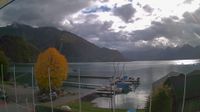 Ried: Schafbergalm
( 6.7 km)
 Strobl: Postalm - Panoramahütte
(1311 m a.s.l., 6.8 km)
 Sankt Gilgen
(675 m a.s.l., 7.1 km)

Cameras provided by windy.com
(1469 m a.s.l., 4 km)
Strobl › North: Bleckwandhütte(1331 m a.s.l., 4.1 km)
Sankt Gilgen › East( 4.1 km)
St. Wolfgang im Salzkammergut: St. Wofgang - Schafbergbahn Talstation(536 m a.s.l., 4.8 km)
Sankt Gilgen › South-east: Union-Yacht-Club Wolfgangsee( 6.4 km)
Ried: Schafbergalm( 6.7 km)
Strobl: Postalm - Panoramahütte(1311 m a.s.l., 6.8 km)
Sankt Gilgen(675 m a.s.l., 7.1 km)
Sun
| today | tomorrow | day after tomorrow | |
|---|---|---|---|
| Dawn: | 7:05 | 7:07 | 6:08 |
| Sunrise: | 7:37 | 7:38 | 6:40 |
| Sunset: | 18:04 | 18:02 | 17:00 |
| Dusk: | 18:35 | 18:34 | 17:32 |