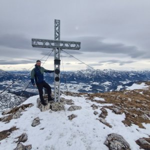
Hiking, 19 km
31.10.2025
 Rakousko
Logged on Vrcholovka 14x in total. Vrchol Hoher Nock was added here by Martin Malý and info was completed by Martin Matějka a Milan "Hojší" Průžek.
Hoher Nock is part of challenges: Austrian Alps, King of the Upper Austrian Foothills, Vápencové ultraperly východních Alp
The highest mountain of the Upper Austrian foothills. It is located in the district of Kirchdorf an der Krems in the Austrian state of Upper Austria. It lies about 6 km north of the town of Windischgarsten in the Kalkalpen National Park.
The summit can be reached via marked hiking trails from several directions, for example from the Feichtauhütte hut (1360 m) or from the south from the Rettenbach valley (620 m; moderate difficulty).
There is no chalet on the peak.
Peak is not stroller accessible.
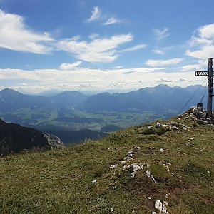
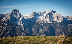
There are views from the peak.
There is no cable car to this peak.
No special equipment is required for this summit.
Peak is freely accessible.
Nearest peaks: Seekopf (1845 m, 1 km) Gamsplan (1902 m, 1.3 km) Hagler (1675 m, 1.6 km) Wagenschartenspitze (1842 m, 1.7 km) Rotgsol (1560 m, 3 km)
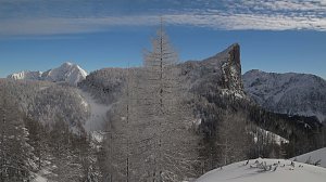 Výstup na vrcholy Toter Mann a Warscheneck v pohoří Totes Gebirge
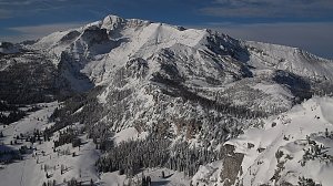 Panoramatická túra přes 5 dvoutisícovek Totes Gebirge
| today | tomorrow | day after tomorrow | |
|---|---|---|---|
| Dawn: | 7:03 | 6:04 | 6:06 |
| Sunrise: | 7:35 | 6:36 | 6:38 |
| Sunset: | 17:58 | 16:57 | 16:55 |
| Dusk: | 18:30 | 17:28 | 17:27 |