Vysoká Magura (1115 m a.s.l., Oravské Beskydy)
Register and log summit
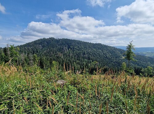

About peak Vysoká Magura
Slovensko
Žilinský kraj
Logged on Vrcholovka 1x in total. Vrchol Vysoká Magura was added here by Martin Matějka and info was completed by Rastislav Biarinec.
Vysoká Magura is part of challenge: Orava Basin
Help others and .
- Chalet/accommodation
-
There is no chalet on the peak.
- Stroller access
-
Peak is not stroller accessible.
- Views
-
There are no views from the peak.
- Cable car
-
There is no cable car to this peak.
- Equipment
-
No special equipment is required for this summit.
- Accessibility
-
Protected Landscape Area Horná Orava - Zone C (3rd degree of protection) - there is no marked hiking trail to the summit.
Nearest peaks: Krkoškuľa SV (1020 m, 0.7 km) Krkoškuľa (1023 m, 0.8 km) Rovný Beskyd (1010 m, 1.3 km) Bukovina (1048 m, 1.8 km) Úšust (1155 m, 1.9 km) Juríková (918 m, 2 km) Bednárová (1093 m, 2.1 km) At the Tree (916 m, 2.4 km) Korčula (963 m, 3 km) Smereków Wielki (1041 m, 3.2 km) Kohútik (946 m, 3.3 km)
Routes nearby
(elevation gain 2800 m, 36 km)
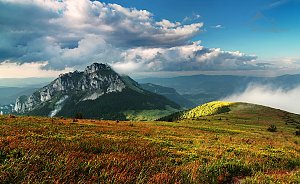 Na Velký Rozsutec skrz Jánošíkove diery
(elevation gain 1300 m, 15 km)
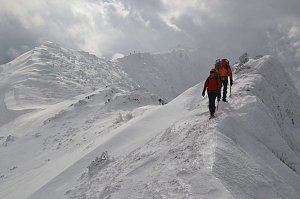
 Přechod Malé Fatry na sněžnicích
(elevation gain 3000 m, 36 km)

Webcams
Cameras provided by windy.com
Sun
| today | tomorrow | day after tomorrow | |
|---|---|---|---|
| Dawn: | 6:10 | 6:11 | 6:13 |
| Sunrise: | 6:44 | 6:46 | 6:47 |
| Sunset: | 16:09 | 16:08 | 16:06 |
| Dusk: | 16:44 | 16:42 | 16:41 |