

Hiking, 21 km
29.3.2026
 Česko
Hlavní město Praha (Hlavní město Praha)
Logged on Vrcholovka 26x in total. Vrchol Háj was added here by Zdeněk Munzar and info was completed by Martin Matějka a Zdeněk Munzar.
The highest peak of the geomorphological district of Úvalská plošina, a subunit of Říčanská plošina within the larger Pražská plošina.
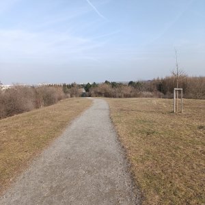
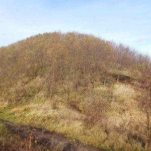
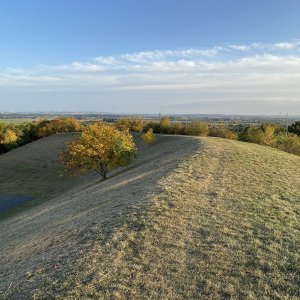
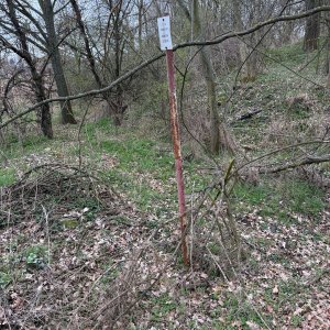
An inconspicuous and flat structural ridge. Due to the urban transformation of the landscape in the 1980s during the construction of the Jižní Město housing estate and the emergence of many artificial hills forming noise barriers for the estate, the summit is difficult to identify.
According to elevation analysis, it has a height of 321.51 m and is located on Šalounova Street between house numbers 1932/20 and 1933/18.
The prominence of 5 m applies in relation to the saddle with the artificial hill Nad hřištěm (329 m). The saddle with another higher hill Na Jelenách (334 m, also artificial) would increase the prominence to 9 m. However, the original key saddle east of Šeberov would mean a prominence of 24 m. Thus, Háj was an independent peak before the construction of Jižní Město. From 1968 (the annexation of Chodov to Prague) to 1974 (the annexation of Točná), it was even the second highest peak in Prague on the right bank of the Vltava River (after Ládví, which was also annexed to Prague in 1968 along with Ďáblice).
There is no chalet on the peak.
This peak is accessible with a stroller.
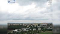
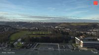
There are no views from the peak.
There is no cable car to this peak.
No special equipment is required for this summit.
Peak is freely accessible.
Nearest peaks: Above the Playground (329 m, 0.3 km) Na Jelenách (334 m, 0.5 km) Kateřinský vrch (315 m, 0.7 km) Nad vodojemem (330 m, 0.9 km) Milíčovský vrch (310 m, 1.3 km) Milíčovský vrch V1 (304 m, 1.5 km) Milíčovský vrch V2 (302 m, 1.7 km) Na Formance (302 m, 1.7 km) U Remízku (306 m, 1.8 km) K Rozkoši SZ (300 m, 2 km) K Rozkoši JV (304 m, 2.1 km)
| today | tomorrow | day after tomorrow | |
|---|---|---|---|
| Dawn: | 7:03 | 7:05 | 6:06 |
| Sunrise: | 7:36 | 7:38 | 6:40 |
| Sunset: | 17:55 | 17:53 | 16:51 |
| Dusk: | 18:28 | 18:26 | 17:25 |