Vysoké (1200 m a.s.l., Low Tatras)
Register and log summit
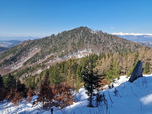

About peak Vysoké
 Slovensko
Žilinský kraj
Logged on Vrcholovka 1x in total. Vrchol Vysoké was added here by Bouřka and info was completed by Rastislav Biarinec a Piotr Mielus.
Vysoké is part of challenge: Váh Basin
Help others and .
- Chalet/accommodation
-
There is no chalet on the peak.
- Stroller access
-
Peak is not stroller accessible.
- Views
-
There are views from the peak.
- Cable car
-
There is no cable car to this peak.
- Equipment
-
No special equipment is required for this summit.
- Accessibility
-
NAPANT - there is no marked hiking trail leading to the summit.
Nearest peaks: Vysoké JJV (1009 m, 0.6 km) Pálenica Z2 (1347 m, 1.5 km) Pálenica Z3 (1315 m, 1.5 km) Pálenica Z1 (1354 m, 1.6 km) Pálenica (1370 m, 1.8 km) Pálenica SV (999 m, 1.8 km) Cibuľová (1051 m, 2.3 km) Pálenica JV1 (1237 m, 2.3 km) Rígeľ V3 (969 m, 2.3 km) Rígeľ V4 (959 m, 2.3 km) Rígeľ V2 (991 m, 2.4 km) Rígeľ V1 (992 m, 2.6 km) Rígeľ (1009 m, 2.7 km) Nad Malou Žeruchou (1122 m, 2.8 km) Pálenica JZ2 (1266 m, 3 km) Petráňová (920 m, 3.3 km) Pálenica JZ3 (1227 m, 3.5 km) Dolinky VJV (1231 m, 3.8 km)
Routes nearby
(elevation gain 1400 m, 20 km)
 Výstup na Kriváň, symbol Slovenska, ve Vysokých Tatrách
(elevation gain 1300 m, 20 km)
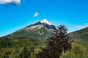 Ze Štrbského plesa na Kôprovský štít
(elevation gain 1100 m, 19 km)
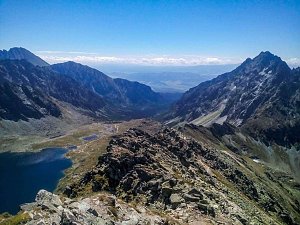 Přechod Roháčů - hřebenovka Západních Tater
(elevation gain 6000 m, 60 km)
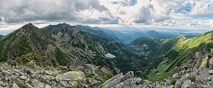


Sun
| today | tomorrow | day after tomorrow | |
|---|---|---|---|
| Dawn: | 6:41 | 6:42 | 5:44 |
| Sunrise: | 7:13 | 7:15 | 6:16 |
| Sunset: | 17:36 | 17:34 | 16:32 |
| Dusk: | 18:08 | 18:06 | 17:05 |