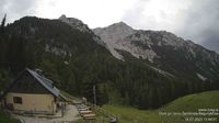
Tschaukofall (746 m a.s.l., Karavanky)
About peak Tschaukofall
Rakousko
Logged on Vrcholovka 1x in total. Vrchol Tschaukofall was added here by Radim.
Help others and .
- Chalet/accommodation
-
There is no chalet on the peak.
- Stroller access
-
Peak is not stroller accessible.
- Views
-
There are views from the peak.
- Cable car
-
There is no cable car to this peak.
- Equipment
-
No special equipment is required for this summit.
- Accessibility
-
Peak is freely accessible.
Routes nearby
Výstup na Stol neboli Hochstuhl v Karavankách
(elevation gain 1400 m, 14 km)
Výstup na vrchol Veliki Stol
Výstup na Stol přes vrchol Vrtača
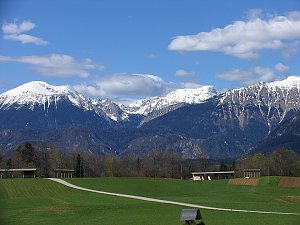
Routes provided by SvetOutdooru.cz
(elevation gain 1400 m, 14 km)
Výstup na vrchol Veliki Stol
Výstup na Stol přes vrchol Vrtača
Mountain chalets
Webcams
Bodental: Familie Lausegger
(1059 m a.s.l., 2.6 km)
Ferlach: Bodental
( 2.7 km)
Ferlach: Bodental
( 2.7 km)
Ferlach
(459 m a.s.l., 5.2 km)
Ferlach
( 5.2 km)
Trzic › West: Selenitza
(1155 m a.s.l., 6.3 km)
Trzic › West: Zelenica
(1299 m a.s.l., 6.5 km)
Zirovnica › South
(1459 m a.s.l., 6.5 km)
Zirovnica › North-East: Planinski dom na Zelenici
(1554 m a.s.l., 6.9 km)
Zirovnica › South-East
( 7 km)
Zirovnica › North-West: Planinski dom na Zelenici
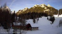
(1554 m a.s.l., 7 km)
Zirovnica › West
( 7 km)
Zirovnica › South
(1561 m a.s.l., 7.3 km)
Zirovnica › North-West
(1559 m a.s.l., 7.3 km)
Cameras provided by windy.com
(1059 m a.s.l., 2.6 km)
( 2.7 km)
( 2.7 km)
(459 m a.s.l., 5.2 km)
( 5.2 km)
(1155 m a.s.l., 6.3 km)
(1299 m a.s.l., 6.5 km)
(1459 m a.s.l., 6.5 km)
(1554 m a.s.l., 6.9 km)
( 7 km)
(1554 m a.s.l., 7 km)
( 7 km)
(1561 m a.s.l., 7.3 km)
(1559 m a.s.l., 7.3 km)
Sun
| today | tomorrow | day after tomorrow | |
|---|---|---|---|
| Dawn: | 6:09 | 6:10 | 6:11 |
| Sunrise: | 6:40 | 6:41 | 6:43 |
| Sunset: | 16:53 | 16:51 | 16:50 |
| Dusk: | 17:24 | 17:22 | 17:21 |