

Hiking, 21 km
2.5.2026
 Česko
Rychnov nad Kněžnou (Královéhradecký kraj)
Logged on Vrcholovka 71x in total. Peak information here was completed by NadWei, Pavel Martínek a Martin Matějka.
Jelenka is part of challenges: Koruna Sudet, The Highest Mountains of Hradec Králové Region, The Highest Peaks of Orlické hory, Thousanders of the Czech Republic, Zvěřinec
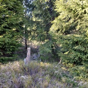
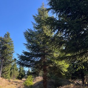
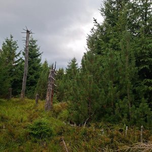
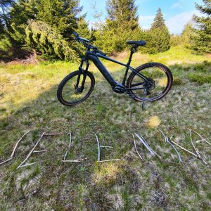
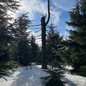
Jelenka - located at an elevation of 1083 m above sea level, a flat ridge covered with spruce forest. There are no marked trails leading to the summit, but it is easily accessible via forest paths. About 200 m below the summit, there is a cycling route. On the southwestern slope, there are bunkers known as řopíky, part of the interwar defensive line.
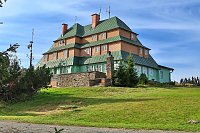
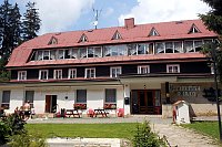
There is no chalet on the peak.
Peak is not stroller accessible.
There are no views from the peak.
There is no cable car to this peak.
No special equipment is required for this summit.
Peak is freely accessible.
Nearest peaks: Crown (1101 m, 1 km) Maruša (1045 m, 1.2 km) Velká Deštná (1116 m, 1.8 km) Lubný (956 m, 2.4 km) Homole (1000 m, 2.5 km) Malá Deštná (1090 m, 3.1 km) Tetřevec (1043 m, 3.5 km) Pláň (873 m, 3.6 km)
 Šerlich › North: Královéhradecký
 Destne v Orlickych horach
 Destne v Orlickych horach
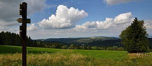
 Uhřínov pohled na Orlické Hory
 Zieleniec
 Zieleniec: SKI Arena - Bartuś
 Zieleniec: Winterpol
 Zieleniec: Winterpol NOWOŚĆ
 Zieleniec: SKI Arena - Winterpol
 Zdobnice: Ski centrum − Valčenka
 Zdobnice
 Zdobnice: Ski centrum
 Říčky: Vrch Zakletý

| today | tomorrow | day after tomorrow | |
|---|---|---|---|
| Dawn: | 6:56 | 6:58 | 5:59 |
| Sunrise: | 7:29 | 7:31 | 6:33 |
| Sunset: | 17:47 | 17:45 | 16:43 |
| Dusk: | 18:20 | 18:18 | 17:17 |