
Hiking, 15 km
27.11.2025
 Česko
Semily (Liberecký kraj)
Logged on Vrcholovka 18x in total. Vrchol Kapradník was added here by Tomik Krejda and info was completed by Martin Matějka, Horalka Anička a Jana.
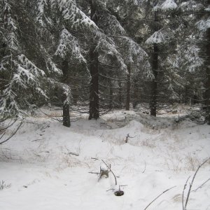
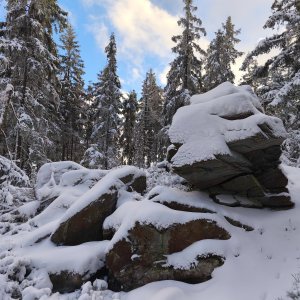
The summit is in the forest, no views anywhere, but you won't meet anyone here. Silence, peace, and moss.
There is no chalet on the peak.
With a sports stroller, there is a forest path leading here, over roots, but it's manageable.
There are no views from the peak.
There is no cable car to this peak.
No special equipment is required for this summit.
Peak is freely accessible.
Nearest peaks: Hvězda (959 m, 0.8 km) Bílá skála (968 m, 1 km) Hromovka (917 m, 1.6 km) Bavorák (825 m, 1.9 km) U Lesní chaty (738 m, 1.9 km) Mýtiny (736 m, 2.2 km) Mechovice (802 m, 2.4 km) Rejdický kopec (817 m, 2.4 km) Nad Polubenským tunelem (810 m, 2.5 km) Javorník (822 m, 2.7 km) Nad Mýtem (743 m, 2.7 km) Horní Kořenov (809 m, 2.9 km) Dlouhá skála (868 m, 3.7 km)
 Korenov › South-West: Ski resort Rejdice
 Korenov › South-West: Rejdice
 Paseky nad Jizerou
 Korenov › North-West
 Korenov › South: U čápa Příchovice - Jara Cimrman Museum
 Korenov › South-East: U čápa Příchovice
 Korenov › North-East: U čápa Příchovice - Kostel sv. Víta
 Harrachov: ČERVENÁ II
 Šumburk nad Desnou: Snowpark Rejdice
 Harrachov: CERTOVA HORA - VRCHOL
 Harrachov: Alfa - Ski Areal
 Harrachov: Cervena - Ski Areal
 Harrachov: Cervena - Ski Areal
 Ryzoviste: Ski Areal Harrachov
 Harrachov: Cervena - Ski Areal
 Harrachov: Cervena - Ski Areal
 Harrachov: Certova Hora
 Svárov
 Harrachov: MAMUTI MUSTEK
 Harrachov: POI 1
 Harrachov: LANOVA DRAHA - CERTOVA HORA
 Harrachov: Skokanské můstky
 Harrachov: FIS Ski Jump Hills
 Harrachov
 Horni Tric: Jablonec nad Jizerou - Kamenec
 Jablonec nad Jizerou: Kamenec

| today | tomorrow | day after tomorrow | |
|---|---|---|---|
| Dawn: | 6:06 | 6:07 | 6:09 |
| Sunrise: | 6:39 | 6:41 | 6:43 |
| Sunset: | 16:45 | 16:43 | 16:41 |
| Dusk: | 17:18 | 17:17 | 17:15 |