



Running, 34 km
15.6.2025
 Itálie
Logged on Vrcholovka 3x in total. Vrchol Monte Stivo was added here by milwoki.
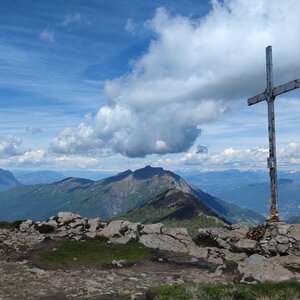
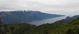
The starting point of the hike is the village of Santa Barbara above the town of Ronzo-Chienis, which is accessible by buses from Rovereto, among other places. In Santa Barbara, you begin at an altitude of 1200 meters and first need to find the path leading to the forest parking lot north of the village. From there, the trail to Monte Stivo (2054 m) is clearly marked. The ascent with a load will take you three to four hours, and in the second half, you will be accompanied by beautiful views that encompass both the glaciated Adamello massif to the west and almost the entire Lake Garda up to the edge of the Po Valley. You can spend the night at the Rifugio Marchetti hut or on the plateau near the hut just below the summit of Monte Stivo.
Source: https://www.idnes.cz/cestovani/kolem-sveta/kam-do-evropskych-hor-pred-sezonou-pet-vyzkousenych-tipu.A150413_122048_po-cesku_tom
There is a chalet on the peak.
Peak is not stroller accessible.
There are views from the peak.
There is no cable car to this peak.
No special equipment is required for this summit.
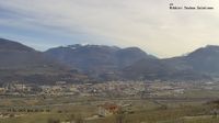
The town of Ronzo-Chienis
Nearest peaks: Cima Alta (1847 m, 2.4 km) Palon (1913 m, 3.1 km)
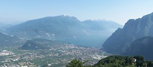 Monte Valandro
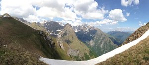 Výstup na Monte Carone, to je balzám pro smysly
| today | tomorrow | day after tomorrow | |
|---|---|---|---|
| Dawn: | 7:13 | 7:14 | 6:16 |
| Sunrise: | 7:43 | 7:45 | 6:46 |
| Sunset: | 18:17 | 18:15 | 17:13 |
| Dusk: | 18:47 | 18:45 | 17:44 |