

Via ferrata
so, 19.9.2020, 11:30
 Rakousko
Logged on Vrcholovka 7x in total. Vrchol Traweng was added here by Katka Vilamová and info was completed by Martin Matějka a Jiří Králík.
From the east, there is a via ferrata of difficulty C. Traditionally, you can reach the summit via the descent from the south.
There is no chalet on the peak.
Peak is not stroller accessible.
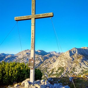
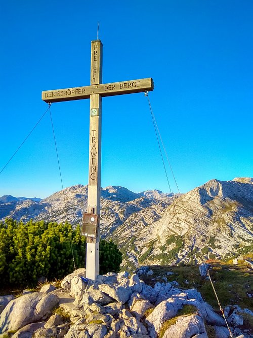
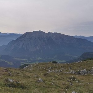
There are views from the peak.
Cable car to Tauplitzalm
From the west, via ferrata set. Via ferrata of difficulty C.
Peak is freely accessible.
Nearest peaks: Sturzhahn (2031 m, 0.7 km) Löckenkogel (2064 m, 1.2 km) Kleines Tragl (2164 m, 1.8 km) Brücklersberg (1793 m, 1.9 km) Larchkogel (1664 m, 1.9 km) Schneiderkogel (1765 m, 1.9 km) Scheiblingtragl (2157 m, 2 km) Großes Tragl (2184 m, 2.1 km) Mitterberg (1711 m, 2.1 km) Niederweiß (2000 m, 2.3 km) Bartlrücken (2141 m, 2.6 km) Hochweiß (2187 m, 2.9 km) Plankemira (2178 m, 3.3 km) Plankermira Ostgipfel (2159 m, 3.3 km) Großer Sidelkogel (1982 m, 3.7 km)
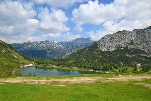
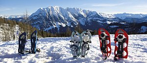 Okruh kolem 6 jezer u Tauplitzalm v Totes gebirge
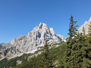
 Výstup na Spitzmauer v pohoří Totes Gebirge
 Bad Mitterndorf › South
 Bad Mitterndorf: Tauplitz - Haus Alpin
 Tauplitz: Lawinenstein − Traweng − Grimming − Rotgschirr − Kammspitze − Hoher Dachstein
 Bad Mitterndorf › East
| today | tomorrow | day after tomorrow | |
|---|---|---|---|
| Dawn: | 7:03 | 7:04 | 6:05 |
| Sunrise: | 7:34 | 7:35 | 6:37 |
| Sunset: | 18:02 | 18:00 | 16:58 |
| Dusk: | 18:33 | 18:31 | 17:30 |