


Hiking, 11 km
20.5.2023


 Slovensko
Logged on Vrcholovka 2x in total. Vrchol Medzirozsutce was added here by Radim.
Help others and .
There is no chalet on the peak.
Peak is not stroller accessible.
There are views from the peak.
There is no cable car to this peak.
No special equipment is required for this summit.
Peak is freely accessible.
Nearest peaks: Malý Rozsutec V (1286 m, 0.5 km) Malý Rozsutec (1344 m, 0.6 km) Malý Rozsutec V2 (1284 m, 0.8 km) Malý Rozsutec VSV (1285 m, 0.8 km) Tanečnica (1367 m, 0.9 km) Pod Rozsutcom (1177 m, 1.1 km) Veľký Rozsutec (1610 m, 1.4 km) Čapica (878 m, 2.3 km) Čapica V (889 m, 2.4 km) Čapica V2 (889 m, 2.4 km) Osnica SZ (1358 m, 2.6 km) Ostré (1167 m, 2.6 km) Rovná hora (790 m, 2.6 km) Osnica (1363 m, 2.9 km) Kozárikove skalky (764 m, 3.2 km)
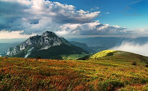 Na Velký Rozsutec skrz Jánošíkove diery
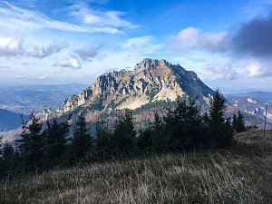 Přechod Malé Fatry na sněžnicích
| today | tomorrow | day after tomorrow | |
|---|---|---|---|
| Dawn: | 5:55 | 5:56 | 5:58 |
| Sunrise: | 6:28 | 6:29 | 6:31 |
| Sunset: | 16:26 | 16:24 | 16:22 |
| Dusk: | 16:59 | 16:57 | 16:56 |


