



Hiking
út, 30.12.2025, 13:58
 Maďarsko
Logged on Vrcholovka 2x in total. Vrchol Csengő-tető was added here by Malek Belhadj and info was completed by Martin Matějka a Jiří Králík.
Csengő-tető is part of challenge: TOP 10 Hungary
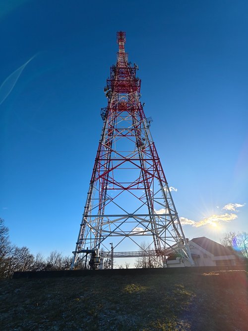
The highest point of this massif. There is a transmitter at the summit. Fenced off. A worn circular trail runs around the fence. About 1 meter is missing to reach the summit (but it will be artificially elevated for the base of the mast), the highest accessible point is at the north side by the fence at 521 m. You can ride a bike on the asphalt road. A nicer route is along the ridge from the village of Bodvarako.
There is no chalet on the peak.
This peak is accessible with a stroller.
There are no views from the peak.
There is no cable car to this peak.
No special equipment is required for this summit.
Peak is freely accessible.
Nearest peaks: Kis Szár-hegy (507 m, 0.4 km) Szár-hegy (518 m, 0.4 km) Balogh-hegy (475 m, 0.5 km) Martonyi-hegy (476 m, 1 km) bükk-domb (483 m, 1.5 km) Kis Bükk-domb (473 m, 1.6 km) Martonyi földvár (494 m, 1.6 km) Poroszka (472 m, 2 km) Mile-hegy (427 m, 3.1 km)
| today | tomorrow | day after tomorrow | |
|---|---|---|---|
| Dawn: | 6:38 | 5:40 | 5:41 |
| Sunrise: | 7:10 | 6:12 | 6:13 |
| Sunset: | 17:31 | 16:30 | 16:28 |
| Dusk: | 18:03 | 17:02 | 17:00 |

