

Hiking
ne, 10.9.2023, 15:36
 Německo
Logged on Vrcholovka 2x in total. Vrchol Hochkalter was added here by Milan "Hojší" Průžek.
Hochkalter is part of challenge: King of the Berchtesgaden Alps
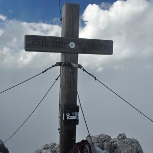
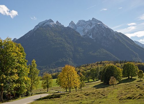
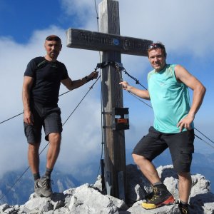
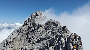
Hochkalter (2607 m) is the highest peak of the mountain massif of the same name (also known as Hochkaltergebirge, Hochkalterstock, or Hochkaltermassiv) and one of the highest mountains in Germany. The Hochkaltermassiv is located in Berchtesgaden National Park, in the federal state of Bavaria, Germany. It is divided into the subgroups Hochkalter-Gruppe, Hocheis-Gruppe, and Südliche Wimbachkette.
The first ascent of Hochkalter was led by Prince Bishop Schwarzenberg and his guides Gemminger, Tatz, and Wein in 1830.
The normal route to the summit leads via »Schöner Fleck« from the mountain hut Blaueishütte, difficulty grade II. Ascents to the summit are suitable only for experienced climbers.
The most important base in the Hochkalter massif is the aforementioned Blaueishütte of the German Alpine Club (1653 m) in the glacial valley of Blaueiskar below the Blaueis glacier, the northernmost glacier in the Alps. The hut has 20 beds and 64 mattresses, does not have winter shelter, and operates during the summer season. Other secured huts include Bergheim Hirschbichl for the Hocheisgruppe area, Wimbachgrieshütte for climbers on the eastern side of the massif, and Ingolstädter Haus for the southern Wimbachkette area.
The Hochkalter mountains, like the entire northern limestone Alps, consist of a mixture of dolomite and limestone. In the Hochkalter and Hocheis groups, the harder Dachstein limestone predominates, a rock formed by sedimentation in the Tethys Ocean during the Late Triassic period (about 220 million years ago). When the Alps were formed, the sloping layers of Dachstein limestone were capped by tectonic movements of the African and European continental plates at angles of 30° to 40°. The result can be clearly seen on the Hochkalter massif, especially in the Ofen valley (Ofental). Much of the southern Wimbach chain includes the fragile dolomite of Ramsau, which significantly contributed to the accumulation of rocks in the Wimbach valley.
Large rockfalls have occurred repeatedly on the Hochkalter massif. In prehistoric times - about 3500 years ago - more than 15 million m³ of rock slid from the upper Blaueis Combe into the valley. These slides blocked the Hintersee lake. Even today, large glacial erratics in Zauber's forest testify to this monumental event. But even in recent times, there have often been large rockfalls:
On August 24, 1908, the summit of Hochkalter collapsed, significantly changing the appearance and height of the peak. The volume of the broken rock is estimated at 240,000 m³. The rockfall was felt in the Ramsau valley as an earthquake.
On July 25, 1954, the second peak of Blaueis collapsed on the northern ridge of Blaueisspitze.
Nine years later, on July 25, 1963, the collapse of the column on Schärtenspitze made the route along the northern wall much more difficult.
In February 1959, several hundred thousand cubic meters of rock slid from the area of Palfelhörner onto the snow below the upper reaches of the Wimbach valley.
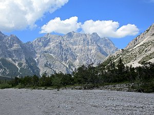
The fragility of the rock in the Wimbach valley is very evident. The bottom of the valley is covered with streams of debris of great depth. This beautiful landscape can be experienced by anyone walking from Ramsau (Wimbach Bridge parking lot) through the valley, initially the Wimbach gorge and then into the open valley (about an hour to Wimbachschloss Inn, another hour to Wimbachgries Hut, 1327 m).
There is no chalet on the peak.
Peak is not stroller accessible.
There are views from the peak.
There is no cable car to this peak.
No special equipment is required for this summit.
Peak is freely accessible.
Nearest peaks: Kleinkalter (2513 m, 0.5 km) Ofentalhorn (2513 m, 0.8 km) Rotpalfen (2367 m, 1.1 km) Steintalhornl (2468 m, 1.4 km) SchärtenSpitze (2153 m, 1.6 km)
 Túra údolím řeky Wimbach za pohodou!
 Výstup na Watzmann a okruh kolem masivu
 Výstup na Grünstein procházkou i sportovním klettersteigem
 Hintersee: Blaueishütte (m) - DAV
 Hintersee: Ramsau im Berchtesgadener Land
 Ramsau bei Berchtesgaden: Hintersee
 Ramsau: Gästehaus Amort − Ihr Uhrlaub in − Webcam Blick auf den Steinberg und Hochkalter
 Ramsau bei Berchtesgaden: Vorderloiplsau - Berchtesgadener Land - Blick zum Hochkalter und zur Reiteralm
 Ramsau bei Berchtesgaden: Hochschwarzeck

| today | tomorrow | day after tomorrow | |
|---|---|---|---|
| Dawn: | 7:07 | 7:09 | 6:10 |
| Sunrise: | 7:38 | 7:40 | 6:41 |
| Sunset: | 18:06 | 18:04 | 17:03 |
| Dusk: | 18:38 | 18:36 | 17:34 |