Grosses Teufelshorn (2283 m a.s.l., Berchtesgadenské Alpy)
Register and log summit


About peak Grosses Teufelshorn
 Německo
 Rakousko
Vrchol Grosses Teufelshorn was added here by Milan "Hojší" Průžek and info was completed by Milan "Hojší" Průžek a Martin Matějka.
Grosses Teufelshorn is part of challenge: King of the Berchtesgaden Alps
Teufelshörner ("Čertovy rohy") is a pair of mountains on the German-Austrian border in the Berchtesgaden Alps. The two peaks that form the mountain ridge are Großes Teufelshorn ("Great Devil's Horn", 2,363 m) and Kleines Teufelshorn ("Devil's Horn", 2,283 m).
This rocky, knife-edge ridge is not secured and only has a climbing route (UIAA II) that is not marked, so it should only be attempted by very experienced climbers.
A devilishly long mountain hike (24.5 km; 2,229 m; 12 h), but a very picturesque circular route leads to the highest peak of the Hagengebirge in Berchtesgadener Land, Großer Teufelshorn (2,362 m).
The tour begins with a nice short boat trip. Only then does it continue on a challenging path on foot, where beautiful views of the lake and surrounding mountains appear again and again.
The route starts at the boat dock in Schönau am Königssee. An electric boat will take you to Salet - Obersee (598 m), where the actual starting point of the trip is, and near the impressive Röthbach waterfall.
From the dock, the route leads through Saletalm to Sagereckersteig (No. 422), which is partially secured with ropes.
When you reach the next junction, continue east towards the alpine hut Wasseralm (path No. 416). When you pass by the Schwarzensee lake, you will reach the turnoff to Halsköpfl (1,718 m), a nice viewpoint above the Königsee lake. Back to the main path and further to Wasseralm (1,416 m).
From here, continue on the marked trail to Großer Teufelshorn (2,362 m). From here, you have a magnificent view of Obersee, Königsee, and Watzmann with its eastern wall.
Continue back to Wasseralm and descend via Röthsteig (No. 424) to Obersee and further back to the starting point at Königsee.
Since you are bound to the Königssee boat schedule, it is difficult to complete the tour in one day. For this reason, an overnight stay at Wasseralm is recommended.
Ascent to Großes Teufelshorn
To reach the summit of Großes Teufelshorn, turn left at the junction and ascend a steep, very narrow path. The final part includes several easy climbing sections, but sure-footedness and a head for heights are absolutely essential.
From the normal route, you can reach the summit of Teufelshorn from Obersee in 6 to 7 hours.
Ascent to Kleines Teufelshorn
For the ascent to Kleines Teufelshorn, continue straight at the junction - sure-footedness and a head for heights are needed. You can reach the summit of Kleines Teufelshorn in 5 to 6 hours from Obersee.
- Chalet/accommodation
-
There is no chalet on the peak.
- Stroller access
-
Peak is not stroller accessible.
- Views
-
There are views from the peak.
- Cable car
-
There is no cable car to this peak.
- Equipment
- Accessibility
-
Peak is freely accessible.
Nearest peaks: Kleines Teufelshorn (2283 m, 0.4 km)
Routes nearby
(elevation gain 800 m, 8 km)
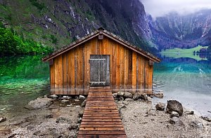 Túra z Jenneru na Schneibstein a k jezírku Seeleinsee
(elevation gain 1000 m, 18 km)
 Trek Berchtesgadenskými Alpami
(elevation gain 2900 m, 21 km)
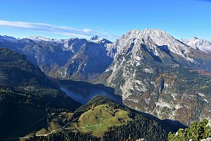 Výstup na Hochkönig
(elevation gain 1600 m, 15 km)
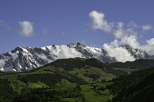 Přechod hřebene Berchtesgadenských Alp: Breithorn - Schönfeldspitze

Sun
| today | tomorrow | day after tomorrow | |
|---|---|---|---|
| Dawn: | 6:15 | 6:16 | 6:18 |
| Sunrise: | 6:47 | 6:48 | 6:50 |
| Sunset: | 16:56 | 16:54 | 16:52 |
| Dusk: | 17:27 | 17:26 | 17:24 |