




Hiking, 17 km
22.10.2022
 Rakousko
Logged on Vrcholovka 1x in total. Vrchol Kleiner Rettenstein was added here by Milan "Hojší" Průžek.
Kleiner Rettenstein is part of challenge: King of the Kitzbühel Alps
"Small but Magnificent Rettenstein
Small certainly does not mean easier. It is lower than Grosser Rettenstein, but it is by no means easier to reach. The summit is accessed via a challenging and at times very exposed alpine trail over several ridge towers. It is mostly a hiking terrain but includes some easy climbing with occasional sections of 1 UIAA, and to reach the summit, you need to conquer the final section of 2 UIAA (secured with a fixed rope). A sure step and resistance to heights are essential.
The nearest mountain hut is Trattenbachalm located at 1,491 m
SUMMIT VIDEO
[u]Ascent Route[/u][b] leads from Oberlandhütte Lodge in Aschau along a forest path into the valley through Klooalm. On the way, you should not miss the lake ""Blaue Lacke"" before the final section.
At Oberlandhütte, you will pass the hut on the right. The path leads across a meadow southeast to a wooden bridge. Cross the Obere Grund-Ache and continue down the valley south towards Untere Klooalm. Cross the stream again and keep left at the chapel to take the path that goes around Kloo Niederalm and steeply through the forest to the Stadlbergalm pastures. The trail now turns right and heads west under the wide ridge of Schwarzkogel to the south. Across (rather marshy after rain) meadows, it goes to the saddle west above Kesselbodenalm, from where a detour to ""Blaue Lacke"" is possible.
However, you should continue along the ridge further south, which steepens up to the fore-summit of Kleiner Rettenstein. Over several airy and rocky slopes (approx. I UIAA), it continues to the main summit (2,216 m).
[u][b]Descent Route[/u] is the same as the ascent, and only very experienced climbers in stable and dry weather can follow the ridge further south to Roßgruberkogel.
Really experienced climbers without a fear of heights can follow the ridge to Roßgruberkogel in stable and dry mountain weather. For this purpose, it leads to the southern foresummit, down the steep grassy ridge to Stangerjoch (not to be confused with Stangenjoch) and on the other side steeply across the ridge, finally in a short ascent, to the summit of Roßgruberkogel (2,156 m). Then descend via (western) Stangenjoch (1,713 m) into Oberer Grund and head back down the valley to Oberlandhütte."
There is no chalet on the peak.
Peak is not stroller accessible.
There are views from the peak.
There is no cable car to this peak.
No special equipment is required for this summit.
Peak is freely accessible.
Nearest peaks: Rossgruberkogel (2156 m, 1.1 km) Zweitausender (2004 m, 1.6 km) Talsenhöhe (1928 m, 2.3 km) Hanglhöhe (1940 m, 3.3 km)
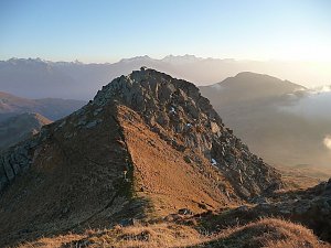 Výšlap ke Krimmelským vodopádům přes vrchol Richterspitze
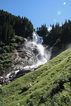 Okruh Císařská koruna kolem Wilder Kaiser
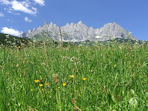 Hřebenovka Vysokých Taur: Venediger Höhenweg a St. Pöltner Westweg
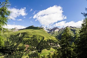
 Jochbergwald: Bergbahn Kitzbühel − Bärenbadkogel
 Gemeinde Jochberg: Jochberg, Kitzbühel - Bärenbadkogel
 Gemeinde Jochberg: Jochberg, Kitzbühel - Bärenbadkogel
 Gemeinde Jochberg: Jochberg, Kitzbühel - Bärenbadkogel
 Gemeinde Jochberg: Jochberg, Kitzbühel - Funpark Hanglalm, Resterkogel
 Hollersbach im Pinzgau: Mittersill - Hollersbach
 Gemeinde Kirchberg in Tirol: Pengelstein - Kirchberg in Tirol
 Gemeinde Bramberg am Wildkogel: Neukirchen, Bramberg - Geisl Hochalm
| today | tomorrow | day after tomorrow | |
|---|---|---|---|
| Dawn: | 6:19 | 6:20 | 6:22 |
| Sunrise: | 6:51 | 6:52 | 6:54 |
| Sunset: | 16:57 | 16:55 | 16:54 |
| Dusk: | 17:29 | 17:27 | 17:26 |
