


Hiking, 26 km
7.11.2025
 Rakousko
Logged on Vrcholovka 3x in total. Vrchol Spitzplaneck was added here by Martin Malý and info was completed by Martin Matějka a Jan Blažej.
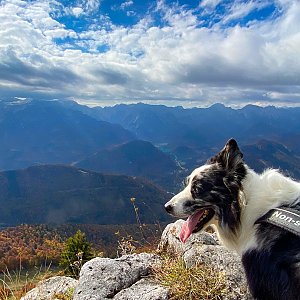
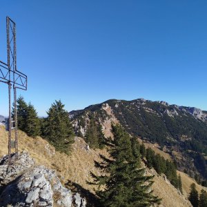
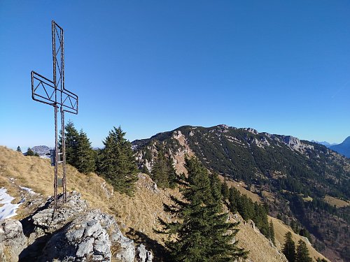
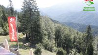
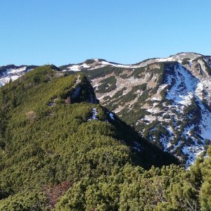
The summit is accessible via an unmarked but well-defined path (about 15 min) from the upper station of the Kasberg cable car. From the top of Spitzplaneck, there is a stunning view of the Totes Gebirge and Traunstein.
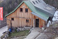
There is a chalet on the peak.
Peak is not stroller accessible.
There are views from the peak.
A cable car goes to this peak.
No special equipment is required for this summit.
Peak is freely accessible.
Nearest peaks: Hohe Mauer (1578 m, 0.8 km) Benn Nock (1520 m, 1.4 km) Kasberg (1743 m, 1.7 km) Farrenaubühel (1287 m, 3.2 km) Jägerspitz (1266 m, 3.5 km)
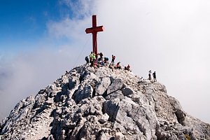
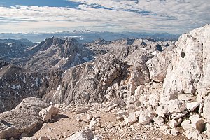 Přechod Totes Gebirge v rakouských Alpách
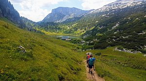 Grosser Priel od Almtaler Haus
 Výstup na Grosser Priel po feratě Bert Rinesch-Steig
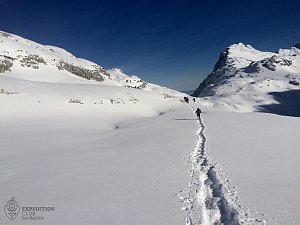
 Přechod Totes gebirge - Mrtvých hor - na sněžnicích
| today | tomorrow | day after tomorrow | |
|---|---|---|---|
| Dawn: | 7:03 | 7:04 | 6:06 |
| Sunrise: | 7:34 | 7:36 | 6:37 |
| Sunset: | 18:01 | 18:00 | 16:58 |
| Dusk: | 18:33 | 18:31 | 17:30 |