




Via ferrata, 19 km
19.9.2025
 Rakousko
Logged on Vrcholovka 7x in total. Vrchol Grabnerstein was added here by Jiří Králík and info was completed by Jan Blažej.
Grabnerstein is part of challenge: Koruna Haller Mauern
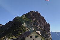
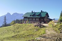
Accessible from two directions. From the south, the normal route follows the red hiking trail leading from the Grabnerstein hut. From the west, the red hiking trail from the Admonter Haus leads to the Jungfernsteig via ferrata, rated difficulty B.
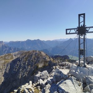
There is no chalet on the peak.
Peak is not stroller accessible.
There are views from the peak.
There is no cable car to this peak.
Special equipment is required for this summit.
Peak is freely accessible.
Nearest peaks: Zilmkogel (1598 m, 0.7 km) Admonter Warte (1804 m, 1 km) Mittagskogel (2041 m, 1.1 km) Natterriegel (2065 m, 1.4 km) Hexenturm (2172 m, 2.3 km) Dörfelstein (1070 m, 3.8 km)
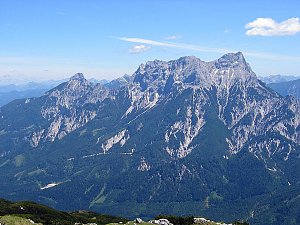 Okruh v Národním parku Gesäuse v Ennstalských Alpách
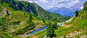 Túra na vrcholy Sparafeld a Kalbling v Ennstalských Alpách
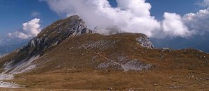
| today | tomorrow | day after tomorrow | |
|---|---|---|---|
| Dawn: | 7:02 | 6:03 | 6:05 |
| Sunrise: | 7:34 | 6:35 | 6:37 |
| Sunset: | 17:58 | 16:56 | 16:54 |
| Dusk: | 18:29 | 17:28 | 17:26 |






