

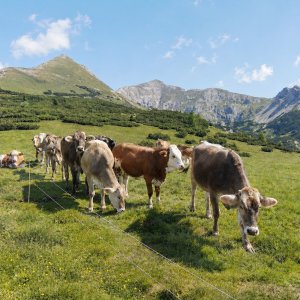

Hiking, 28 km
21.6.2026
 Rakousko
Logged on Vrcholovka 5x in total. Vrchol Mittermölbing was added here by Bára Barčí and info was completed by Martin Matějka a Jan Blažej.
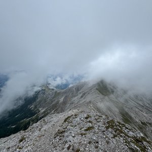
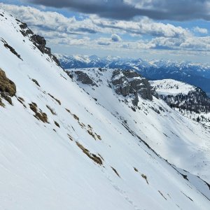
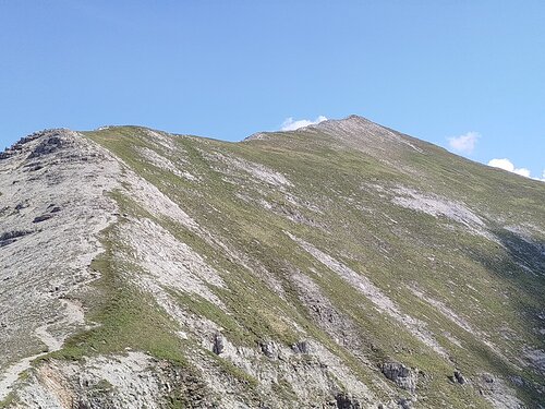
The summit of Mittermölbing is most easily accessible from the south from the valley near the Hochmölbinghütte or Liezener Hütte via the red hiking trail. Another option is to approach from the other side along the ridge over Hochmölbing.
There is no chalet on the peak.
Peak is not stroller accessible.
There are views from the peak.
There is no cable car to this peak.
No special equipment is required for this summit.
Peak is freely accessible.
Nearest peaks: Hochmölbing (2336 m, 0.3 km) Kreuzspitze (2327 m, 0.7 km) Kleinmölbing SV (2060 m, 0.8 km) Kaminspitz (2322 m, 1 km) Sattelkoppen (2030 m, 1 km) Querlstein (2084 m, 1.2 km) Kleinmölbing (2160 m, 1.4 km) Schrocken (2281 m, 1.6 km) Zoderberg (1881 m, 2 km) Pyhrner Kampl (2249 m, 2.5 km) Schafkögel (1994 m, 2.5 km) Pyhrner Kampl SV (2204 m, 3.2 km)
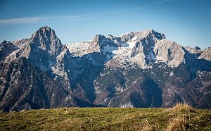 Výstup na vrcholy Toter Mann a Warscheneck v pohoří Totes Gebirge
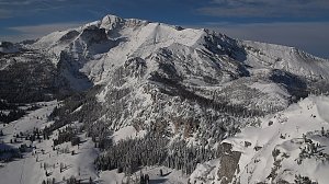
 Hinterstoder: Panoramalift Tal - Startplatz West
 Hinterstoder: Panoramalift Tal - Startplatz West
 Hinterstoder: Panoramalift Tal - Startplatz West
 Hinterstoder: Höss-Express Bergstation
 Hinterstoder: Huttererhöß
 Hinterstoder
 Hinterstoder: Bergstation Hirschkogelbahn
 Hinterstoder: Bergstation Hirschkogelbahn
 Hinterstoder: Bergstation Hirschkogelbahn
 Hinterstoder: Hössbahn Bergstation - Huttererböden
 Hinterstoder: Hössbahn Bergstation - Huttererböden
 Hinterstoder: Hössbahn Bergstation - Huttererböden

| today | tomorrow | day after tomorrow | |
|---|---|---|---|
| Dawn: | 6:05 | 6:06 | 6:08 |
| Sunrise: | 6:36 | 6:38 | 6:39 |
| Sunset: | 16:57 | 16:56 | 16:54 |
| Dusk: | 17:29 | 17:27 | 17:26 |