



Hiking
čt, 31.7.2014, 11:15
 Itálie
Logged on Vrcholovka 2x in total. Vrchol Sass Ciapel was added here by krupjan and info was completed by Martin Matějka a Jan Blažej.
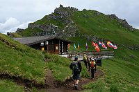
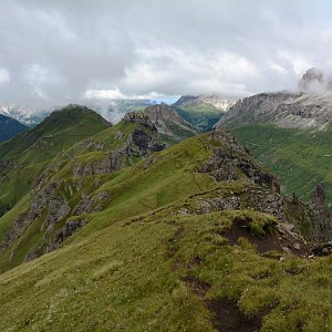
Padon ridge with an impressive view of Marmolada
There is no chalet on the peak.
Peak is not stroller accessible.
There are views from the peak.
There is no cable car to this peak.
No special equipment is required for this summit.
Peak is freely accessible.
Nearest peaks: Pre-De Ciapel (2526 m, 0.6 km) Col del Cuc (2563 m, 1.2 km) Belvedere (2648 m, 1.7 km) Sass Beccei (2423 m, 2.2 km) Col de Bousc (2491 m, 3 km) Col de Bousc J (2486 m, 3.1 km) Putna de Joel (2945 m, 3.1 km) Sass de Forcia di Mezzo (2917 m, 3.2 km) Sass de Forcia Occidentale (2923 m, 3.4 km)
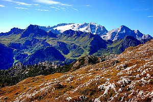 Výstup na Piz Boe - nejlehčí třítisícovku v Dolomitech
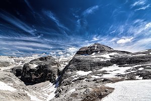 Feratová túra hřebenem Padon v Dolomitech
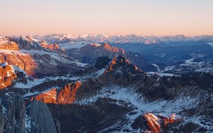 Ferratový okruh v srdci Dolomit s výstupem na Marmoladu
Výstup na Punta Serauta feratou Eterna – Brigata Cadore
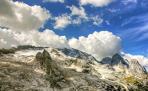 Výstup na vyhlídkový Sassongher v Dolomitech
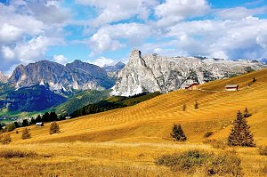 Výstup na Cima Ombretta

 Livinallongo del Col di Lana: Pordoi - Pass
 Arabba: Marmolada - Pista Fodoma
 Livinallongo del Col di Lana: Arabba, Marmolada - Pista Fodoma
 Livinallongo del Col di Lana: Arabba, Marmolada - Pista Fodoma
 Livinallongo del Col di Lana: Arabba, Marmolada - Pista Fodoma
 Arabba: Portavescovo: Panorama Portavescovo
 Canazei: Arabba - Porta Vescovo
 Canazei: Passo Pordoi - Pordoi Pass - Sass Pordoi - Sasso Pordoi - Piz Boè
 Rocca Pietore › South-West: Marmolada
 Arabba: Marmolada - Rifugio Burz
 Arabba: Rifugio Monte Burz
 Vigo di Fassa: Passo Fedaia - Fedaia Lake - Marmolada - Ciampedie - Vigo Di Fassa - Rosengarten Group - Gran Vernel
 Canazei
 Canazei: Val di Fassa - Sass Pordoi
 Canazei: Funivia Ciampac - Colac - Gran Vernel
 Canazei: Colac
 Livinallongo del Col di Lana: Arabba - Bec de Roces
 Arabba: Marmolada - Bec de Roces
 Livinallongo del Col di Lana: Arabba rifugio Burz
 Canazei: Marmolada - Fedaia Lake - Passo Fedaia
 Canazei › West
 Livinallongo del Col di Lana › South: Marmolada
 Canazei: Rifugio Contrin
 Corvara in Badia - Corvara: Alta Badia - Boé
 Corvara in Badia - Corvara: Alta Badia - Boé
 Corvara in Badia - Corvara: Alta Badia - Boé
| today | tomorrow | day after tomorrow | |
|---|---|---|---|
| Dawn: | 7:10 | 7:11 | 6:13 |
| Sunrise: | 7:41 | 7:42 | 6:44 |
| Sunset: | 18:12 | 18:10 | 17:09 |
| Dusk: | 18:43 | 18:41 | 17:40 |