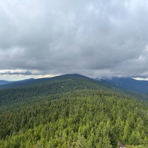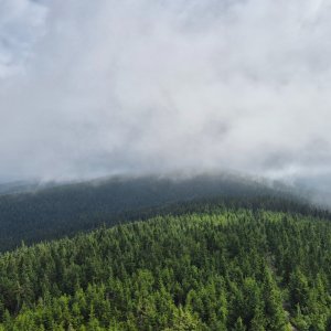
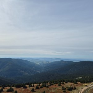

Hiking, 29 km
27.9.2026
 Česko
 Polsko
Ústí nad Orlicí (Pardubický kraj)
Logged on Vrcholovka 210x in total. Peak information here was completed by Petr, Štěpánka, Marcela a Alexandr Starý.
Klepý / Klepáč is part of challenges: Koruna Sudet, Nejhory Kladska, Nejhory Pardubicka, The Highest Mountains of Králický Sněžník, Thousanders of the Czech Republic, Thousanders of the Jeseníky, Via Czechia Severní stezka
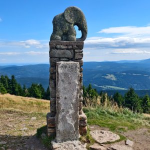
Polish Trójmorski Wierch. Water from the western (Polish) slopes flows into the Kladská Nisa, which springs here and belongs to the Baltic Sea basin. Water from the southern slopes is carried by the Lipkovský stream, which flows into the Tichá Orlice and belongs to the North Sea basin. Water from the eastern slopes flows into the Morava River through small right tributaries and belongs to the Black Sea basin.
There is no chalet on the peak.
Peak is not stroller accessible.
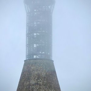
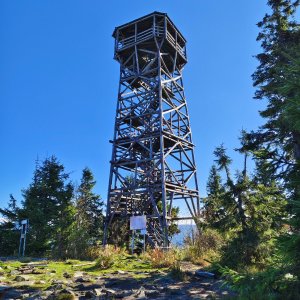
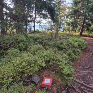
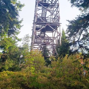
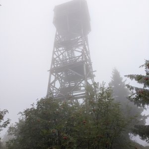
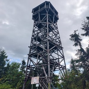
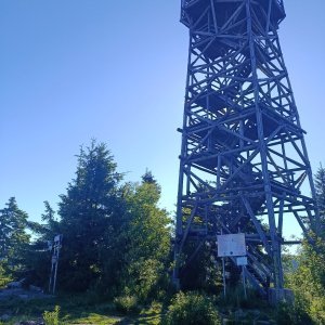
The lookout tower was renovated and reopened in 2022.
There is no cable car to this peak.
No special equipment is required for this summit.
Peak is freely accessible.
Nearest peaks: Jelení vrch (936 m, 1.5 km) Hleďsebe (1190 m, 1.8 km) Větrný vrch S (813 m, 2.3 km) Větrný vrch (807 m, 3 km) Hraničná (733 m, 3.1 km) Špička J (762 m, 3.8 km)
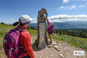 Zimní pochod nebo přejezd po hřebenech Jeseníků
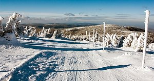 Přechod Králického Sněžníku a Jeseníků
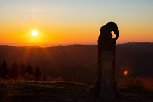
 Dolni Morava: Mamutíkovy zážitkové parky
 Dolní Morava › South-West: Skiareál Větrný vrch - ski Dolní Morava
 Dolni Morava
 Dolni Morava
 Slaměnka
 Dolni Morava › South-West: Sky Walk
 Dolni Morava: Sky Bridge 721
 Dolni Morava: Sky Bridge 721
 Kamienica

| today | tomorrow | day after tomorrow | |
|---|---|---|---|
| Dawn: | 6:54 | 6:56 | 5:57 |
| Sunrise: | 7:27 | 7:29 | 6:31 |
| Sunset: | 17:46 | 17:44 | 16:42 |
| Dusk: | 18:19 | 18:17 | 17:15 |