


Hiking, 17 km
25.3.2026
 Slovensko
Trenčiansky kraj
Logged on Vrcholovka 5x in total. Vrchol Ostrenec was added here by Jarda Vála and info was completed by Martin Matějka a Rastislav Biarinec.
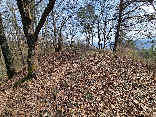
A forested hill on the yellow hiking trail
There is no chalet on the peak.
Peak is not stroller accessible.
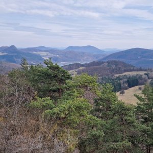
Not from the summit, only from the end of the yellow-marked detour
There is no cable car to this peak.
No special equipment is required for this summit.
Peak is freely accessible.
Nearest peaks: Vrchstráň (565 m, 1 km) Upohlavská skala (534 m, 2.1 km) Fun (468 m, 2.2 km) Holíš (533 m, 2.2 km) Upohlavský diel (591 m, 2.6 km) Gýmeš (582 m, 2.7 km) Sliškovec (539 m, 2.7 km) Hrebeň (502 m, 3.2 km) Budišov (542 m, 3.3 km) Skalka (454 m, 3.7 km)
| today | tomorrow | day after tomorrow | |
|---|---|---|---|
| Dawn: | 6:47 | 6:48 | 5:50 |
| Sunrise: | 7:19 | 7:21 | 6:23 |
| Sunset: | 17:42 | 17:40 | 16:38 |
| Dusk: | 18:14 | 18:12 | 17:10 |







