

Hiking, 56 km
29.8.2026
 Německo
Logged on Vrcholovka 260x in total. Vrchol Großer Arber / Velký Javor was added here by Marek Feest and info was completed by Martin Matějka.
Großer Arber / Velký Javor is part of challenges: Crown of the Border Mountains, Šumavské ultratisícovky, Ultrapeaks
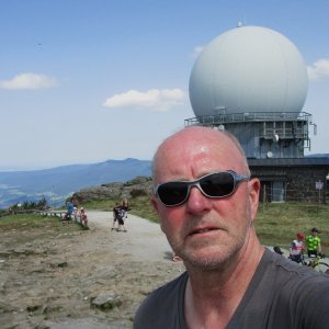
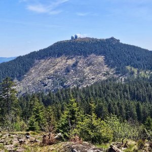
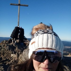
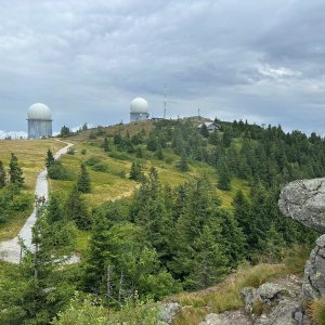
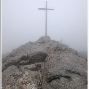
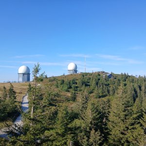
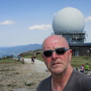
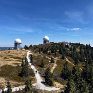
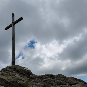
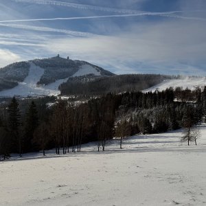
The highest mountain of the Šumava, in its German part (Bavarian Forest), about 4 km from the Czech border. From the summit, there is a perfect circular view of the surrounding mountains and two glacial lakes - Großer und Kleiner Arbersee. At the top, there is a rock with a cross and a Cold War air defense facility with two radar domes. In addition to the main peak, there are two other prominent rocks on the summit plateau - Großer Seeriegel and Bodenmaiser Riegel. On the northern slopes, there is a ski resort.
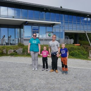
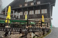
There is a chalet on the peak.
This peak is accessible with a stroller.
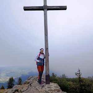
There are views from the peak.
A cable car goes to this peak.
No special equipment is required for this summit.
Peak is freely accessible.
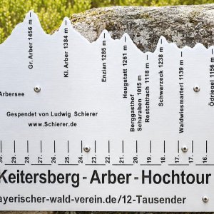
Nearest peaks: Großer Seeriegel (1443 m, 0.2 km) Bodenmaiser Riegel (1441 m, 0.3 km) Schutzhauser tie (1356 m, 0.3 km) Stallriegel (1232 m, 0.9 km) Großer Arber J (1277 m, 1.1 km) Head bolt (1036 m, 1.8 km) Mittagsplatzl SZ (1303 m, 1.8 km) Kleiner Arber (1384 m, 1.9 km) Mittagsplatzl (1340 m, 2.2 km) Mittagsplatzl Z (1230 m, 2.5 km) Spitzberg (1058 m, 2.6 km) Wagnerspitze (1125 m, 2.9 km) Mittagsplatzl JV (1191 m, 3.1 km) Hindenburgfelsen (1173 m, 3.6 km)
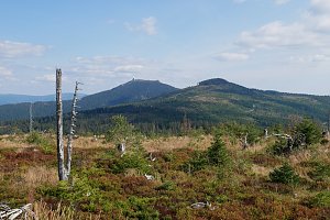 Výstup na Großer Arber neboli Velký Javor v Bavorském lese
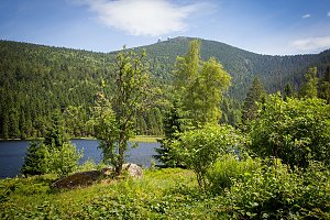 Výstup na šumavský Zwercheck, chceteli Svaroh
 Na sněžnicích nebo na běžkách napříč zimní Šumavou
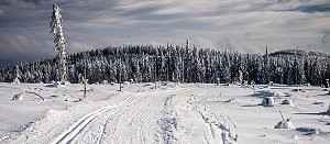 Výstup z Německa na Grosser Osser neboli Velký Ostrý na Šumavě
 Grosser Arber: Bodenmais Tourism & Marketing GmbH − Silberberg − Naturpark Bayerischer Wald e.V. − Czechia
 Bayerisch Eisenstein: Steinberglift - Bayerischen Wald
 Bayerisch Eisenstein › North-east: Großer Arber - Arber-Stadl
 Brennes › South-West: Grosser Arber Talstation
 Bayerisch Eisenstein › North-west: Berghaus Sonnenfels - Großer Arber- Blick nach Nordwesten
 Bayerisch Eisenstein: Berghaus Sonnenfels - Großer Arber- Blick nach Nordwesten
 Bayerisch Eisenstein › West
 Bayerisch Eisenstein › South-east: Großer Arbersee
 Bodenmais: Bayerischer Wald - Bretterschachten
 Bodenmais: Webcamblick zum Arber und nach
 Bodenmais: Bayerischer Wald - Silberberg Bergstation, Silberberg
 Bodenmais: Bayerischer Wald - Glashütte
 Bodenmais: Bayerischer Wald - Glashütte
 Bodenmais: Bayerischer Wald - Glashütte

| today | tomorrow | day after tomorrow | |
|---|---|---|---|
| Dawn: | 6:18 | 6:20 | 6:21 |
| Sunrise: | 6:51 | 6:53 | 6:54 |
| Sunset: | 16:50 | 16:48 | 16:47 |
| Dusk: | 17:23 | 17:21 | 17:20 |