


Hiking, 3 km
14.6.2023
 Slovensko
Žilinský kraj
Logged on Vrcholovka 9x in total. Vrchol Kýčera was added here by PA!WELL and info was completed by Martin Matějka a Rastislav Biarinec.
It is also listed as the highest peak of the geomorphological unit Podtatranská brázda.
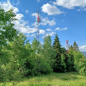
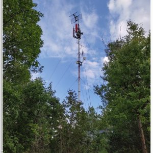
From Zuberec, a path leads to the summit of Kalvárie (Stations of the Cross). There are 2 transmitters at the top.
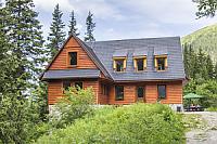
There is no chalet on the peak.
Peak is not stroller accessible.
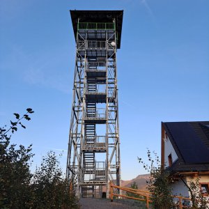
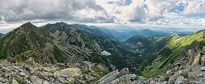
Views are limited due to overgrown vegetation. A lookout tower is currently being built at the summit.
There is no cable car to this peak.
No special equipment is required for this summit.
Peak is freely accessible.
Nearest peaks: Kýčera S (855 m, 0.3 km) Ivanov (870 m, 1.3 km) Noviny (894 m, 1.4 km) Chotár (841 m, 1.9 km) Kamenné mlieko (1127 m, 2.2 km) Úplaziky (1141 m, 2.4 km) Ostrý grúň (1216 m, 2.7 km)
| today | tomorrow | day after tomorrow | |
|---|---|---|---|
| Dawn: | 6:42 | 6:43 | 5:45 |
| Sunrise: | 7:14 | 7:16 | 6:18 |
| Sunset: | 17:36 | 17:34 | 16:33 |
| Dusk: | 18:09 | 18:07 | 17:05 |