
Hiking, 24 km
29.5.2026
 Rakousko
Logged on Vrcholovka 5x in total. Vrchol Angerkogel was added here by Martin Malý and info was completed by Martin Matějka a Jan Blažej.
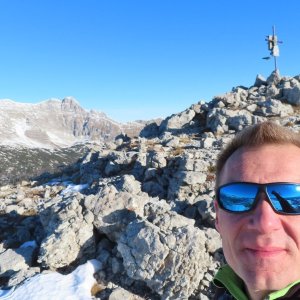
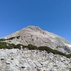
A marked hiking trail leads almost to the summit. To reach the actual peak, we need to take an unmarked path.
There is no chalet on the peak.
Peak is not stroller accessible.
There are views from the peak.
There is no cable car to this peak.
No special equipment is required for this summit.
Peak is freely accessible.
Nearest peaks: Schwarzkoppen (2035 m, 0.6 km) Nazogl (2057 m, 0.8 km) Kitzspitze (1977 m, 1.2 km) Lueg (2032 m, 1.2 km) Kühfeld (1923 m, 1.4 km) Lueg Z (1962 m, 1.6 km) Kosennspitz (1955 m, 1.7 km) Lärchkogel (1788 m, 1.9 km) Geißfeld (1727 m, 2.1 km) Eisernes Bergl (1955 m, 2.3 km) Lauskögerl (1930 m, 2.3 km) Rossarsch (2229 m, 2.8 km)
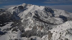 Panoramatická túra přes 5 dvoutisícovek Totes Gebirge
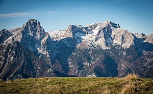 Výstup na jehlu Totes Gebirge - vrchol Stubwieswipfel
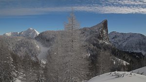
 Spital am Pyhrn: Wurzeralm - Gammering - Hahnlgraben
 Spital am Pyhrn: Wurzeralm - Gammering - Hahnlgraben
 Spital am Pyhrn: Wurzeralm - Gammering - Hahnlgraben
 Spital am Pyhrn: Wurzeralm - Gammering - Hahnlgraben
 Hinterstoder: Höss-Express Bergstation
 Hinterstoder: Huttererhöß
 Hinterstoder
 Hinterstoder: Panoramalift Tal - Startplatz West
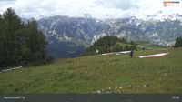 Hinterstoder: Panoramalift Tal - Startplatz West
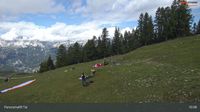 Hinterstoder: Panoramalift Tal - Startplatz West
 Hinterstoder: Panoramalift Tal - Startplatz West
| today | tomorrow | day after tomorrow | |
|---|---|---|---|
| Dawn: | 7:03 | 6:05 | 6:06 |
| Sunrise: | 7:35 | 6:36 | 6:38 |
| Sunset: | 17:59 | 16:57 | 16:56 |
| Dusk: | 18:30 | 17:29 | 17:27 |