


Hiking
ne, 18.12.2022, 15:00


 Slovensko
Logged on Vrcholovka 2x in total. Vrchol Šlahorka was added here by Jakub Zajíček and info was completed by Jakub Zajíček.
Help others and .
There is no chalet on the peak.
Peak is not stroller accessible.
There are no views from the peak.
There is no cable car to this peak.
No special equipment is required for this summit.
Peak is freely accessible.
Nearest peaks: Veľký Rozsutec (1610 m, 1.1 km) Tanečnica (1367 m, 1.3 km) Poludňový grúň V (1411 m, 2.1 km) Stoh (1607 m, 2.1 km) Malý Rozsutec (1344 m, 2.3 km) Boboty (1085 m, 2.4 km) Grúň (989 m, 2.4 km) Malý Rozsutec V (1286 m, 2.7 km) Poludňový grúň (1460 m, 2.7 km) Steny S (1535 m, 2.9 km)
 Přechod Malé Fatry na sněžnicích
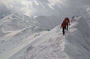 Na Velký Rozsutec skrz Jánošíkove diery
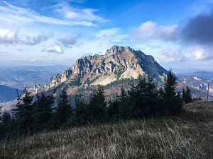
 Terchova: Chata na Grúni - Poludňový grúň
 District of Žilina
 District of Žilina: Terchova: Terchová, Vrátna Malá Fatra - Vrátna
 Starý Dvor: Vratna − Paseky
 Starý Dvor: Chleb panoráma
 Chleb: Vratna
 District of Žilina: Rosina: Terchová, Vrátna Malá Fatra - Vrátna - Chleb
 District of Dolný Kubín: Family Resort Zázrivá

| today | tomorrow | day after tomorrow | |
|---|---|---|---|
| Dawn: | 5:47 | 5:49 | 5:50 |
| Sunrise: | 6:20 | 6:21 | 6:23 |
| Sunset: | 16:35 | 16:33 | 16:31 |
| Dusk: | 17:07 | 17:06 | 17:04 |
