
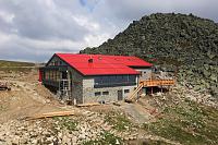


Hiking
pá, 22.8.2025, 16:22

 Slovensko
Banskobystrický kraj
Logged on Vrcholovka 1x in total. Vrchol Pálenica was added here by INDOSH and info was completed by Martin Matějka.
Help others and .
There is no chalet on the peak.
Peak is not stroller accessible.
There are views from the peak.
There is no cable car to this peak.
No special equipment is required for this summit.
Peak is freely accessible.
Nearest peaks: Pálenica J1 (1607 m, 0.7 km) Pálenica J2 (1628 m, 1 km) Príslop (1556 m, 1.1 km) Baba (1617 m, 1.4 km) Baba JZ (1447 m, 2.4 km) Mesiačik S (1357 m, 2.5 km) Dereše (2003 m, 2.7 km) Mesiačik (1362 m, 2.8 km) Chopok (2024 m, 3 km) Chopok Z (2002 m, 3 km) Chopok NW (2007 m, 3.1 km) Zadný dereš (1921 m, 3.1 km) Zadný dereš Z (1904 m, 3.2 km) Konské (1888 m, 3.3 km)
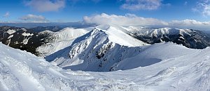 Přechod Karpatského oblouku - opuštěná hřebenovka za humny
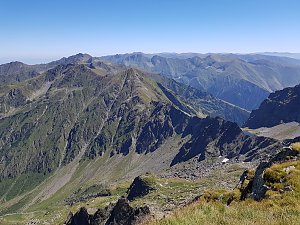
 District of Brezno: Lyžařský areál Jasná - Zadné Dereše
 Podturen: Chopok, Juh
 District of Liptovský Mikuláš: Podturen: Horná Lehota - Chopok South, Jasná South - Chopok South
 District of Brezno
 District of Liptovský Mikuláš
 District of Liptovský Mikuláš: Chopok 2024 m.n.m.
 District of Liptovský Mikuláš › South
 District of Liptovský Mikuláš: Podturen: Demänovská Dolina, Jasná North - Jasná - Luková
 Liptovská Teplička
 Horna Lehota: Ski, Golf & Hotel Resort Tále - Grey Bear
 Bystrá: ski TÁLE
 District of Brezno: ski Tále
 District of Liptovský Mikuláš

| today | tomorrow | day after tomorrow | |
|---|---|---|---|
| Dawn: | 5:48 | 5:49 | 5:51 |
| Sunrise: | 6:20 | 6:22 | 6:23 |
| Sunset: | 16:30 | 16:28 | 16:26 |
| Dusk: | 17:02 | 17:01 | 16:59 |