



Hiking, 9 km
29.7.2022
 Česko
Domažlice (Plzeňský kraj)
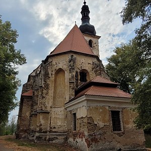
Logged on Vrcholovka 3x in total. Vrchol Sv. Anna was added here by Bouřka and info was completed by Tomik Krejda.
One of many fundamental inaccuracies on mapy.cz - point 443 just above the contour line of 400m... The actual height of the summit is 405m.
There is no chalet on the peak.
This peak is accessible with a stroller.
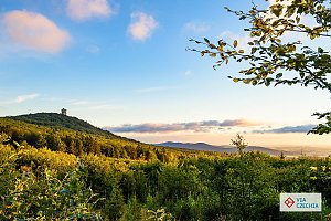
There are views from the peak.
There is no cable car to this peak.
No special equipment is required for this summit.
Peak is freely accessible.
Nearest peaks: Mastný (428 m, 1.1 km) Kněžský vrch (438 m, 1.3 km) Husina (458 m, 1.5 km) Podháj S (433 m, 1.6 km) Podháj (438 m, 1.9 km) Držadlo (394 m, 2 km) Hubený (443 m, 2.3 km) U Lomu (437 m, 2.8 km) Záhumenice (400 m, 2.8 km) Nad Samotou (470 m, 3.4 km) Nad Lojdou (442 m, 3.7 km)
| today | tomorrow | day after tomorrow | |
|---|---|---|---|
| Dawn: | 7:09 | 7:11 | 6:12 |
| Sunrise: | 7:42 | 7:43 | 6:45 |
| Sunset: | 18:03 | 18:01 | 16:59 |
| Dusk: | 18:35 | 18:33 | 17:32 |





