





Hiking
st, 26.8.2026, 18:52
 Česko
Domažlice (Plzeňský kraj)
Logged on Vrcholovka 2x in total. Vrchol Skála was added here by Bouřka and info was completed by Krtek.
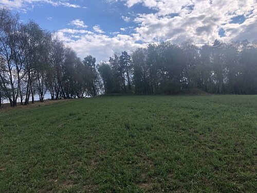
If you are looking for a rock at the summit of Skála, you will be disappointed. In the summit area, there is only a small rock in the bushes, probably not the highest point.
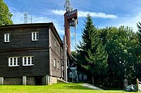
There is no chalet on the peak.
Peak is not stroller accessible.
There are views from the peak.
There is no cable car to this peak.
No special equipment is required for this summit.
Peak is freely accessible.
Nearest peaks: Koutský les (562 m, 0.8 km) Bezkoutí (576 m, 1.1 km) Na Štítovce (544 m, 1.5 km) Brůdecký kopec (526 m, 1.8 km) Klepný (556 m, 1.9 km) Za Vrchy (528 m, 1.9 km) V Lípě (535 m, 2 km) V Brtech (544 m, 2.1 km) Žabí dvůr (498 m, 2.3 km) Klepný SZ (489 m, 2.4 km) Tetřívek (490 m, 2.8 km) Tanaberk (518 m, 2.9 km) Tisová (523 m, 3 km) Starý Klíčov (491 m, 3.3 km)
| today | tomorrow | day after tomorrow | |
|---|---|---|---|
| Dawn: | 7:09 | 7:10 | 6:12 |
| Sunrise: | 7:41 | 7:43 | 6:44 |
| Sunset: | 18:03 | 18:01 | 16:59 |
| Dusk: | 18:35 | 18:33 | 17:32 |

