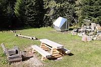


Hiking, 11 km
25.8.2026
 Česko
Trutnov (Královéhradecký kraj)
Logged on Vrcholovka 61x in total. Peak information here was completed by Petr, Martin Matějka a Vladimír Grančay.
Přední Planina is part of challenges: Koruna Sudet, The Highest Mountains of Hradec Králové Region, Thousanders of the Czech Republic, Tisícovky Krkonoš
Very flat peak near Špindlerův Mlýn.
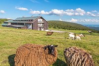
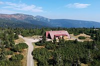
A little below the summit is the chalet on the Plain.
A wide path runs over the summit.
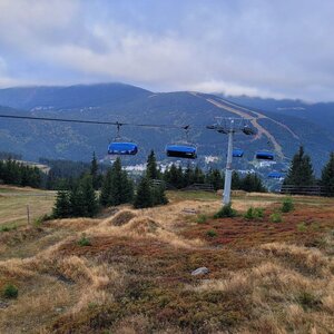
There are no views directly from the summit (forest), but from the upper station of the cable car or from the chalet on the Plain, there are wide views.
A cable car from Svatý Petr leads almost to the summit.
No special equipment is required for this summit.
Peak is freely accessible.
Nearest peaks: U Krásné Pláně (989 m, 1.9 km) Struhadlo (1002 m, 2.2 km) Stoh (1324 m, 2.4 km) Herlíkovický Žalý S (933 m, 2.9 km) Herlíkovický Žalý (958 m, 3.4 km) Kozí hřbety (1318 m, 3.6 km)
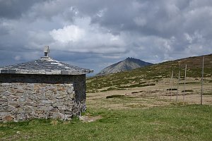 Via Czechia: Severní stezka
 Přechod Krkonoš s dětmi
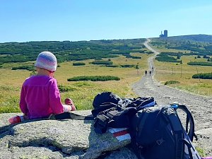 Labská stezka
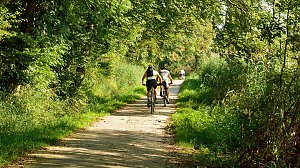
 Predni Labska: Město Špindlerův Mlýn - Svatý Petr, Pláně
 Spindleruv Mlyn: Hromovka
 Spindleruv Mlyn: Svaty Petr II, Nástup Lanovky
 Spindleruv Mlyn: Svaty Petr II, Restaurace
 Strazne › North: Strážné - Czech Republic: Friesovy boudy
 Špindlerův Mlýn: STOH - Svatý Petr | Špindlerův Mlýn, Czech republic
 Spindleruv Mlyn › South-East
 Bedrichov: Špindlerův Mlýn: Hromovka
 Spindleruv Mlyn: Penzion Alenka - Labská, Přehrada
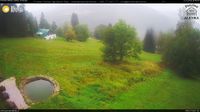 Špindlerův Mlýn › North-West: Pension Alenka Spindleruv Mlyn
 Pec pod Snezkou › North-East: Sněžka - Na Rozcestí
 Pec pod Snezkou › North-east: Luční hora - Studniční hora - Sněžka
 Čistá Voda: Stráň − Přední Labská
 Pec pod Sněžkou: Chalupa na Rozcestí (Krkonoše)
 Strazne › North: Strážné
 Špindlerův Mlýn: Krkonoše, Špindlerův Mlýn, Medvědín (pohled na Labskou přehradu)
 Vitkovice: Spindlermühle - Horní Mísečky
 Vitkovice: Spindlermühle - Horní Mísečky
 Špindlerův Mlýn: Krkonoše, Špindlerův Mlýn, Medvědín (pohled na Kozí hřbety)
 Medvědín
 Vrchlabi: Herlíkovice, Bubákov - Herlíkovice II
 Svatý Petr: Erlebachova bouda
 Špindlerův Mlýn: Erlebachova bouda I - Špindlerův Mlýn
 Benecko: Herlíkovice, Bubákov - Žalý
 Špindlerův Mlýn › South-West: Spindler's Mountain Hotel - Maiden Rocks - Mužské kameny - Medvědín - Wielki Szyszak
 Dolni Dvur: Lyžařský areál - Údolí

| today | tomorrow | day after tomorrow | |
|---|---|---|---|
| Dawn: | 6:03 | 6:04 | 6:06 |
| Sunrise: | 6:37 | 6:38 | 6:40 |
| Sunset: | 16:46 | 16:44 | 16:42 |
| Dusk: | 17:19 | 17:17 | 17:16 |