


Cycling, 69 km
1.5.2026
 Česko
Břeclav (Jihomoravský kraj)
Logged on Vrcholovka 12x in total. Vrchol Stará hora was added here by Bouřka and info was completed by Martin Matějka.
Stará hora is part of challenge: Nejhory Pálavy
The highest peak of the Milovice Hills, an eastern subunit of the Mikulov Highlands. According to Mapy.cz, it belongs to the Pavlov Hills, but the geomorphological unit layer on the ČÚZK map classifies the entire Starohorský ridge as part of the Milovice Hills.
According to ags.cuzk.cz, the highest point with an elevation of 351.5 m is directly on the path north of the elevation 351 on mapy.cz - at that location, the height is slightly lower - 350.8 m.
There is no chalet on the peak.
This peak is accessible with a stroller.
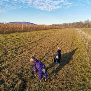
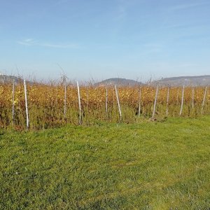
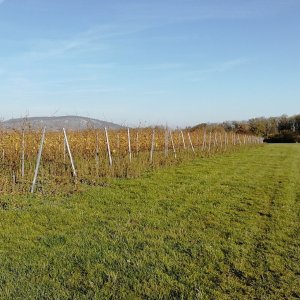
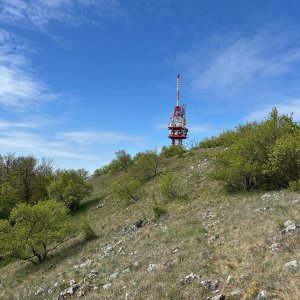
There are views from the peak.
There is no cable car to this peak.
No special equipment is required for this summit.
Peak is freely accessible.
Nearest peaks: Above the Cat Stone (356 m, 1.7 km) Kasárna JV (306 m, 1.7 km) Kasárna SZ (307 m, 1.7 km) Kočičí skála (362 m, 1.7 km) Stolová/Tabulová hora (459 m, 2 km) Turold S (380 m, 2 km) Sirotčí hrádek (447 m, 2.1 km) Turold (385 m, 2.2 km) Janičův vrch (295 m, 2.4 km) Nad Liščí dírou (323 m, 2.5 km) Brněnský kopec (268 m, 2.8 km) Čertův kámen (272 m, 2.9 km) Městské díly (274 m, 2.9 km) Nad Božím hrobem (363 m, 2.9 km) Kozí Hrádek (284 m, 3.2 km) Pálava (462 m, 3.2 km) Svatý kopeček (363 m, 3.2 km) Zámek Mikulov (283 m, 3.5 km) Olivetská hora (272 m, 3.6 km)
| today | tomorrow | day after tomorrow | |
|---|---|---|---|
| Dawn: | 6:53 | 6:55 | 5:56 |
| Sunrise: | 7:26 | 7:27 | 6:29 |
| Sunset: | 17:49 | 17:47 | 16:45 |
| Dusk: | 18:21 | 18:19 | 17:18 |