Pfroslkopf (3148 m a.s.l., Ötztal Alps)
Register and log summit
Weather Pfroslkopf

About peak Pfroslkopf
 Rakousko
Peak information here was completed by Pája.
AT
Difficulty II/A-16.I-A
- Chalet/accommodation
- Stroller access
- Views
- Cable car
- Equipment
- Accessibility
Routes nearby
Výstup na Wildspitze, druhou nejvyšší horu Rakouska
(elevation gain 1900 m, 20 km)
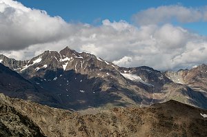 Nekonečné roviny Oetztálských Alp na sněžnicích či skialpech
(elevation gain 3500 m, 45 km)
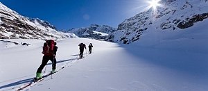 Výstup na bělostný vrchol Palla Bianca neboli Weisskugel
(elevation gain 2800 m, 25 km)
 Výstup na Similaun s návratem přes sedlo Hauslabjoch a soutěsku Rofen
(elevation gain 1800 m, 30 km)
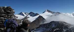 Augsburger Höhenweg: velkolepá hřebenovka Lechtálských Alpy
(elevation gain 1400 m, 12 km)
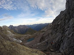
Routes provided by SvetOutdooru.cz
(elevation gain 1900 m, 20 km)
Nekonečné roviny Oetztálských Alp na sněžnicích či skialpech(elevation gain 3500 m, 45 km)
Výstup na bělostný vrchol Palla Bianca neboli Weisskugel(elevation gain 2800 m, 25 km)
Výstup na Similaun s návratem přes sedlo Hauslabjoch a soutěsku Rofen(elevation gain 1800 m, 30 km)
Augsburger Höhenweg: velkolepá hřebenovka Lechtálských Alpy(elevation gain 1400 m, 12 km)
Webcams
Gemeinde Fendels: Fendels, Kaunertal - Sattelboden, Sattelklause
( 7.4 km)
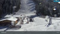 Gemeinde Fendels: Fendels, Kaunertal - Sattelboden, 4KSB Berg
( 7.4 km)
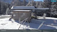 Gemeinde Kaunertal: Kaunertal - Verpeilschlucht
( 7.7 km)
 Gemeinde Kaunertal: Kaunertal - Verpeilschlucht
( 7.7 km)
 Gemeinde Ried im Oberinntal: Tiroler Oberland - Ried
(943 m a.s.l., 8.9 km)
 Gemeinde Kaunertal › South
(1250 m a.s.l., 9.6 km)

Cameras provided by windy.com
( 7.4 km)
Gemeinde Fendels: Fendels, Kaunertal - Sattelboden, 4KSB Berg( 7.4 km)
Gemeinde Kaunertal: Kaunertal - Verpeilschlucht( 7.7 km)
Gemeinde Kaunertal: Kaunertal - Verpeilschlucht( 7.7 km)
Gemeinde Ried im Oberinntal: Tiroler Oberland - Ried(943 m a.s.l., 8.9 km)
Gemeinde Kaunertal › South(1250 m a.s.l., 9.6 km)
Sun
| today | tomorrow | day after tomorrow | |
|---|---|---|---|
| Dawn: | 7:14 | 7:15 | 7:17 |
| Sunrise: | 7:45 | 7:46 | 7:48 |
| Sunset: | 18:18 | 18:16 | 18:14 |
| Dusk: | 18:49 | 18:47 | 18:45 |