
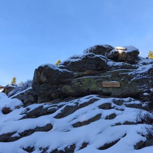

Hiking, 16 km
28.11.2025
 Česko
Jablonec nad Nisou (Liberecký kraj)
Logged on Vrcholovka 20x in total. Peak information here was completed by Martin Matějka a Vladimír Grančay.
Plešivec is part of challenges: Crown of Regions and Districts, Koruna Sudet, Nejhory Liberecka, Thousanders of the Czech Republic, Tisícovky Krkonoš
The western spur of the Lysá hora and Kotle ridge. The westernmost peak of the Czech Ridge.
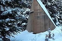
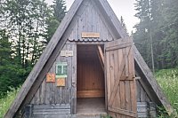
There is no chalet on the peak.
Peak is not stroller accessible.
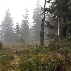
There are no views from the peak.
There is no cable car to this peak.
No special equipment is required for this summit.
Peak is freely accessible.
Nearest peaks: Plešivec V (1196 m, 0.4 km) Čertova pláň (974 m, 1.2 km) Kostelní vrch (862 m, 1.8 km) Ptačinec (950 m, 1.8 km) Studená (989 m, 2.2 km) Lysá hora (1344 m, 2.3 km) Kamenec (1238 m, 2.8 km) Luboch (1296 m, 3.2 km)
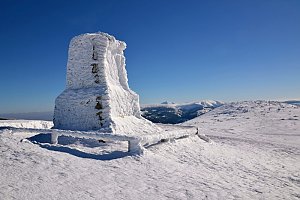 Labská stezka
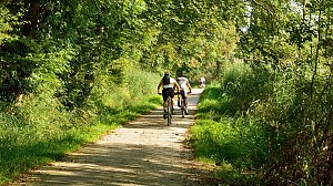 Přechod Krkonoš s dětmi
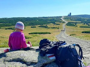
 Rokytno: Lysá Hora
 Rokytno: Lysá hora - Rokytnice
 Rokytno: Lysá hora - Rokytnice
 Rokytno: Rokytnice n. Jizerou, Lysá hora
 Rokytnice nad Jizerou: II, POI 1
 Rokytno: Chata Světlanka
 Ryzoviste: LANOVÁ DRAHA - CERTOVA HORA
 Rokytnice nad Jizerou › South-West
 Harrachov › North-east
 Rokytnice nad Jizerou › South: Vosecká bouda
 Szklarska Poręba › South-West: Vosecká bouda
 Harrachov
 Harrachov: Skokanské můstky
 Harrachov: CERTOVA HORA - VRCHOL
 Harrachov: Alfa - Ski Areal
 Harrachov: Cervena - Ski Areal
 Harrachov: Cervena - Ski Areal
 Ryzoviste: Ski Areal Harrachov
 Harrachov: Cervena - Ski Areal
 Harrachov: Cervena - Ski Areal
 Harrachov: Certova Hora
 Rokytnice nad Jizerou
 Rokytnice nad Jizerou › North-east: Blue star ski resort
 Harrachov: FIS Ski Jump Hills
 Rokytnice nad Jizerou › West
 Harrachov: MAMUTI MUSTEK
 Harrachov: LANOVA DRAHA - CERTOVA HORA
 Harrachov: ČERVENÁ II
 Vitkovice: Krkonoše, Vrbatova bouda (pohled na cestu k chatě)
 Szklarska Poręba › South-East: Szrenica - Karkonosze
 Rokytnice nad Jizerou
 Harrachov: POI 1
 Szklarska Poręba: Szrenica, Karpacz
 Rokytnice nad Jizerou: Panorama
 Szklarska Poreba › North
 Skelné Hutě: Rezek − pension Hájenka
 Marysin: Sudety Lift - Karkonosz Express
 Marysin: Sudety Lift -ski
 Szklarska Poreba Gorna › West: Polana Jakuszycka
 Szklarska Poręba

| today | tomorrow | day after tomorrow | |
|---|---|---|---|
| Dawn: | 7:00 | 7:02 | 6:04 |
| Sunrise: | 7:34 | 7:36 | 6:37 |
| Sunset: | 17:50 | 17:48 | 16:46 |
| Dusk: | 18:23 | 18:22 | 17:20 |