


Hiking, 46 km
30.8.2026
 Česko
Klatovy (Plzeňský kraj)
Logged on Vrcholovka 229x in total. Peak information here was completed by Vendy, Bouřka a Michal Kříž.
Pancíř is part of challenges: Šumavské tisícovky, The Highest Peaks of Plzeň Region, Thousanders of the Czech Republic
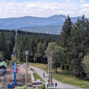
A flat peak located 3.5 km northeast of Špičák (northern part of Železná Ruda). An asymmetrical schist to gneiss ridge with steeper eastern slopes. It continues north to Habr and Můstek, while to the south it drops to the confluence of Špičácký stream and Řezná. There are rocks and scattered debris in places. At the summit stands a transmitter, and in the immediate vicinity, there is a mountain hut with a lookout tower. The hut dates back to 1923 and has been renovated several times. The lookout offers an excellent view, almost circular except to the north and northwest. In the southern to southwestern direction, the Alps can occasionally be seen, especially during autumn inversions or after the passage of cold fronts. According to measurements from 1927-50, the average temperature at the summit is 3.8 °C. The total precipitation from the rain gauge is nearly 1300 mm annually. Besides the mentioned hut and transmitter, there is also the upper station of the chairlift leading from Špičák with a mid-station at Hofmanky. It measures 2750 m and overcomes an elevation difference of 350 m. There is a ski lift on the western slope. The summit and slopes are covered with spruce forest. At the summit, within the transmitter's enclosure, there is a geodetic point. (tisicovky.cz)
There is a chalet on the peak.
This peak is accessible with a stroller.
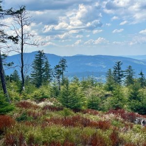
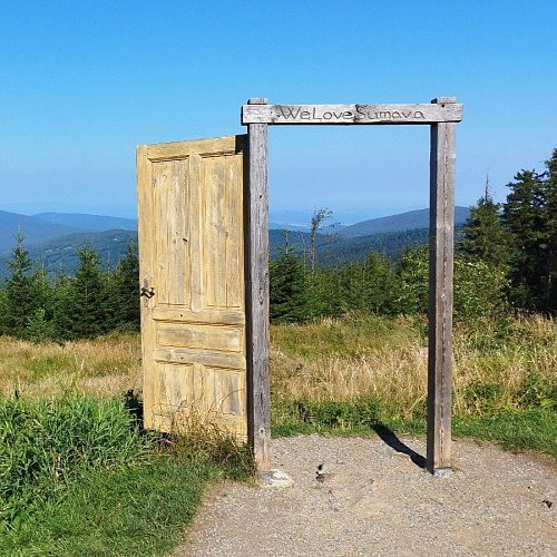
There are views from the peak.
A cable car goes to this peak.
No special equipment is required for this summit.
Peak is freely accessible.
Nearest peaks: Habr (1203 m, 1.5 km) Nad Šmauzy (1068 m, 1.9 km) Mlýnský vrch (980 m, 2 km) Under Pancíř (1029 m, 2.3 km) Můstek (1234 m, 2.7 km) Tok (1023 m, 3 km) Jedlová (1175 m, 3.3 km) Můstek Z2 (1001 m, 3.7 km)
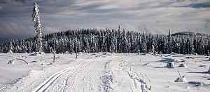 Přechod západní Šumavy
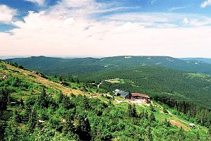 Výstup na šumavský Zwercheck, chceteli Svaroh
 Výstup na Großer Arber neboli Velký Javor v Bavorském lese
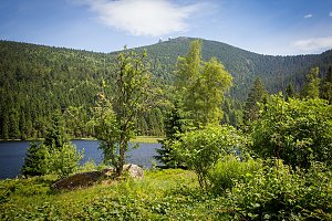 Přechod 12 tisícovek v Bavorském lese
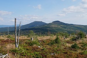
 Nový Brunst: Pancir
 Zelezna Ruda: Pancíř - Hofmanky (Šumava, Böhmerwald)
 Zelezna Ruda: Železná Ruda - Špičák
 Eisenstein Dorf: Sport areal Spicak
 Eisenstein Dorf: Špičák Rozhledna
 Zelezna Ruda: Železná Ruda - Železná Ruda Špičák, POI 1
 Pamferhütte: Hotel Engadin-skiareál Belveder
 Zelezna Ruda: Železná Ruda - Nad nádražím, POI 1
 Schödelhöfe: Hojsova Stráž

| today | tomorrow | day after tomorrow | |
|---|---|---|---|
| Dawn: | 6:10 | 6:12 | 6:13 |
| Sunrise: | 6:43 | 6:45 | 6:46 |
| Sunset: | 16:58 | 16:56 | 16:55 |
| Dusk: | 17:31 | 17:29 | 17:27 |