




Hiking
út, 26.7.2022, 8:20
 Itálie
Logged on Vrcholovka 3x in total. Peak information here was completed by Martin Matějka, Jiří Králík, Bouřka a Jan Blažej.
Punta Sorapiss is part of challenge: Vápencové ultraperly východních Alp
The ascent to the summit usually takes place from Rifugio San Marco (1823 m) above San Vito di Cadore. In 2¼ hours, you reach Bivacco Slataper (CAI, approx. 2600 m) via Forcella Grande, the last base before the summit climb. Then, you follow the trail over scree to the entrance at an altitude of 2760 m. Climbing is rated I and II. After a total of five hours and a short descent into a narrow saddle, you finally reach the summit. The key section (III) consists of a chimney with a constricting block in the first half of the route. The descent follows the ascent route. Despite the southern exposure, firn is not uncommon, especially in the entrance area. Additionally, the route is considered risky in terms of rockfall. /wikipedia/
There is no chalet on the peak.
Peak is not stroller accessible.
There are views from the peak.
There is no cable car to this peak.
Climbing gear (key point III UIAA).
Peak is freely accessible.
Nearest peaks: Croda Marcora (3154 m, 0.5 km) Punta Nera (2847 m, 1.8 km) Punta dei Ross (2460 m, 2 km) Monte Faloria (2352 m, 3.1 km) Cima Belprà (2917 m, 3.4 km)
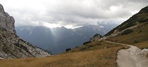 Túra skupinou Cadini v Dolomitech s výstupem na Cima Cadin di Nord-Est
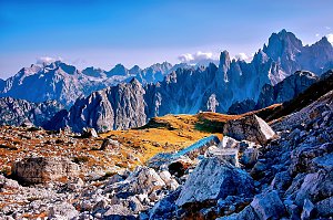
 Cortina d'Ampezzo › North
 Cortina d'Ampezzo › West: Cortina d'Ampezzo Dolomites
 Cortina d'Ampezzo › South-East
 Cortina d'Ampezzo: Rifugio Faloria
 San Vito di Cadore › North: San Vito − centro paese
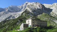
 Rifugio Galassi
| today | tomorrow | day after tomorrow | |
|---|---|---|---|
| Dawn: | 7:10 | 6:11 | 6:13 |
| Sunrise: | 7:41 | 6:42 | 6:44 |
| Sunset: | 18:09 | 17:07 | 17:06 |
| Dusk: | 18:40 | 17:38 | 17:37 |

