




Hiking, 17 km
28.7.2024

 Slovensko
Žilinský kraj
Logged on Vrcholovka 3x in total. Spočinek Tokáreň was added here by Petr Pepe Peloušek and info was completed by Martin Matějka.
A peak on the slope, without prominence.
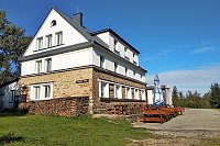
There is no chalet on the peak.
This peak is accessible with a stroller.
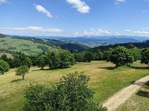
There are views from the peak.
There is no cable car to this peak.
No special equipment is required for this summit.
Peak is freely accessible.
Nearest peaks: Grúň (630 m, 1.1 km) Grúň (562 m, 1.4 km) Kykula (615 m, 1.4 km) Podzávoz (628 m, 1.6 km) Jurošovský vrch (627 m, 1.8 km) Prieľačský vrch (649 m, 2.7 km) Črchľa (564 m, 3.3 km) Sagatka (671 m, 3.8 km)
| today | tomorrow | day after tomorrow | |
|---|---|---|---|
| Dawn: | 5:50 | 5:52 | 5:53 |
| Sunrise: | 6:23 | 6:25 | 6:26 |
| Sunset: | 16:34 | 16:32 | 16:30 |
| Dusk: | 17:07 | 17:05 | 17:03 |




