

Hiking, 1 km
26.9.2026
 Polsko
Logged on Vrcholovka 9x in total. Vrchol Ochodzita was added here by Martin Matějka and info was completed by Martin Matějka a Jiřina.
The highest mountain of the Polish part of the Jablunkov Ridge.
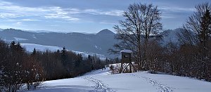
At the summit, there is a viewpoint, benches, and the end of a ski lift.
There is no chalet on the peak.
There is a paved road leading up, but it consists of rough concrete blocks for the purpose of heavy vehicle access = a large residential complex is being built on the hill.
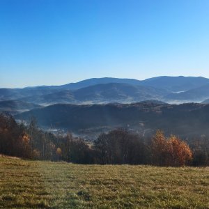
There are views from the peak.
Only a SKI LIFT for winter purposes.
No special equipment is required for this summit.
Peak is freely accessible.
Nearest peaks: Koczy Zamek (847 m, 1.5 km) Brzestowy Groń (681 m, 2.2 km) Tyniok (892 m, 2.5 km) Sołowy Wierch (850 m, 2.7 km) Trojaki (845 m, 2.9 km) Siwiniowski Wierch (798 m, 3.3 km)
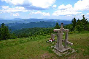 Sněžnicový přechod polských Beskyd s výstupem na vrchol Barania Góra
| today | tomorrow | day after tomorrow | |
|---|---|---|---|
| Dawn: | 5:51 | 5:53 | 5:54 |
| Sunrise: | 6:24 | 6:26 | 6:27 |
| Sunset: | 16:31 | 16:29 | 16:27 |
| Dusk: | 17:04 | 17:02 | 17:01 |