
Hiking, 48 km
9.5.2025
 Česko
Klatovy (Plzeňský kraj)
Logged on Vrcholovka 9x in total. Vrchol Barák was added here by Bouřka and info was completed by Bouřka a Anežka Anna Švarcová.
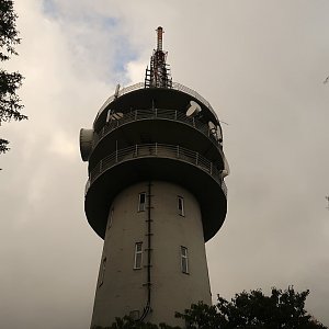
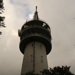
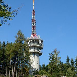
At the summit, there is the Habartice transmitter. Red hiking trail. The highest rock (according to ags.cuzk.cz, height 709.1m) is just behind the transmitter's fence, but in front of the fence, there is a geodetic point (706.2m), whose location is indicated on all maps.
Photo: Krtek
There is no chalet on the peak.
This peak is accessible with a stroller.
There are no views from the peak.
There is no cable car to this peak.
No special equipment is required for this summit.
The transmitter facility, but the highest point is just behind the fence.
Nearest peaks: Nad Chuchlí (703 m, 0.3 km) Barák S (692 m, 0.5 km) Skála u Harantů (710 m, 0.6 km) Karkule (678 m, 0.9 km) Spolky (684 m, 1.1 km) Kostřáb ZJZ (665 m, 1.4 km) Spolky SV (684 m, 1.4 km) Rovná (730 m, 1.5 km) Kostřáb (690 m, 1.7 km) Nad Habartickým mlýnem (615 m, 1.8 km) Holý vrch (525 m, 2 km) Lopata (527 m, 2 km) Jelení vrch JZ (647 m, 2.1 km) Rovná Z (516 m, 2.2 km) Zdebořická hora SZ (721 m, 2.2 km) Dílce (530 m, 2.3 km) Zdebořice (684 m, 2.4 km) Na Rejdích (620 m, 2.9 km) Na Pláskách (533 m, 3.1 km) Pavlova hora (673 m, 3.2 km) Nad Myslovicemi (503 m, 3.3 km) Nad Myslovicemi Z (491 m, 3.3 km) Bolešiny (452 m, 3.7 km)
| today | tomorrow | day after tomorrow | |
|---|---|---|---|
| Dawn: | 7:07 | 7:09 | 6:10 |
| Sunrise: | 7:40 | 7:41 | 6:43 |
| Sunset: | 18:01 | 17:59 | 16:57 |
| Dusk: | 18:33 | 18:32 | 17:30 |