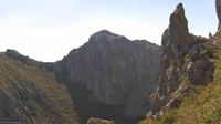



Hiking, 18 km
8.7.2022
 Chorvatsko
Logged on Vrcholovka 2x in total. Významný bod Paklenica - Njive Lekine was added here by Bohumír Michal and info was completed by Martin Matějka.
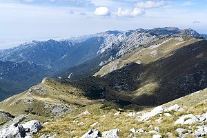
Paklenica is a karst river canyon and also a national park in Croatia. It is located above the settlement of Starigrad in northern Dalmatia, in the southern part of the Velebit mountain range in Zadar County. The national park features two canyons, Mala and Velika Paklenica. The Mala Paklenica canyon is dry and has no water flow.
There is no chalet on the peak.
Peak is not stroller accessible.
There are views from the peak.
There is no cable car to this peak.
No special equipment is required for this summit.
Peak is freely accessible.
Nearest peaks: Crni vrh (1110 m, 1.5 km) Anića kuk VJV (588 m, 2 km) Anića kuk (712 m, 2.2 km)
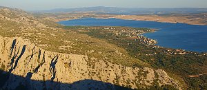 Tůra do Velké a Malé Paklenice
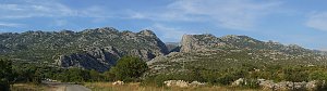 Výstup na Vaganski vrh v chorvatském pohoří Velebit
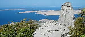 Výstup na vrchol Vaganski vrh
| today | tomorrow | day after tomorrow | |
|---|---|---|---|
| Dawn: | 6:07 | 6:08 | 6:09 |
| Sunrise: | 6:37 | 6:39 | 6:40 |
| Sunset: | 16:45 | 16:44 | 16:42 |
| Dusk: | 17:15 | 17:14 | 17:13 |