Galicijský masiv
| Highest peak | Peña Trevinca (2127 m a.s.l.) |
|---|---|
| Most prominent peak | Peña Trevinca (2127 m a.s.l., prominence 881 m) |
| Parent unit | Pyrenean System |
| Sub-units |
Montes de Trevinca Serra Amarela Serra da Queixa Serra de Bornes Serra do Faro Serra do Gerês Serra do Marão Serra do Soajo |
| Main peaks | Total 18 |
| Most popular peaks | Monte Corpino (68 m a.s.l.), Fisterra (136 m a.s.l.), Bezejmenný (128 m a.s.l.), Bezejmenný (194 m a.s.l.), Bezejmenný (96 m a.s.l.) |
| Mountain range challenges | Highest Geographical Points of Europe |

| Name | Elevation | ||||
|---|---|---|---|---|---|

|
Peña Trevinca | 2127 m a.s.l. | Montes de Trevinca | 881 m | hlavní vrchol |

|
Cabeza de Manzaneda | 1781 m a.s.l. | Serra da Queixa | 806 m | hlavní vrchol |

|
Pico Nevosa | 1546 m a.s.l. | Serra do Gerês | 775 m | hlavní vrchol |
|
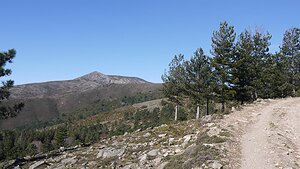
Pedrada | 1416 m a.s.l. | Serra do Soajo | 768 m | hlavní vrchol |
|
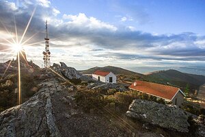
Marão | 1416 m a.s.l. | Serra do Marão | 682 m | hlavní vrchol |
|
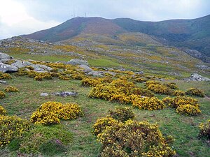
Louriça | 1359 m a.s.l. | Serra Amarela | 603 m | hlavní vrchol |

|
Bornes | 1199 m a.s.l. | Serra de Bornes | 624 m | hlavní vrchol |
|
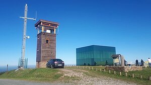
O Faro | 1180 m a.s.l. | Serra do Faro | 736 m | hlavní vrchol |
|
Montanha de Covide | 677 m a.s.l. | Serra do Gerês | 46 m | hlavní vrchol |

|
Outeiro da Meda | 453 m a.s.l. | Galicijský masiv | 237 m | hlavní vrchol |
|
|
Monte do Sino | 415 m a.s.l. | Galicijský masiv | 37 m | hlavní vrchol |

|
Monte do Gaiás | 305 m a.s.l. | Galicijský masiv | 22 m | hlavní vrchol |

|
Cotón Negro | 285 m a.s.l. | Galicijský masiv | 5 m | vedlejší vrchol |
|
|
Cotón do Outeiro | 267 m a.s.l. | Galicijský masiv | 16 m | hlavní vrchol |

|
Alto da Cruz | 249 m a.s.l. | Galicijský masiv | 15 m | hlavní vrchol |
|
|
Pedra Cagona | 238 m a.s.l. | Galicijský masiv | 208 m | hlavní vrchol |

|
Monte de San Guillermo | 222 m a.s.l. | Galicijský masiv | 30 m | hlavní vrchol |
|
|
Monte de Quene | 154 m a.s.l. | Galicijský masiv | 44 m | hlavní vrchol |

|
Fisterra | 136 m a.s.l. | Galicijský masiv | 10 m | vedlejší vrchol |

|
Monte Corpino | 68 m a.s.l. | Galicijský masiv | 57 m | hlavní vrchol |

|
Vaosilveiro | 63 m a.s.l. | Galicijský masiv | 10 m | vedlejší vrchol |